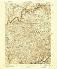
1907 Map of Clarion
USGS Topo · Published 1938About this map
The Clarion River snakes through a deeply dissected landscape in this early twentieth-century study, where the county seat of Clarion sits perched above the river's northern bend. The area is characterized by a dense network of upland farms and small mining operations, connected by the Pittsburgh Summerville and Clarion R R. Evidence of the region's extractive economy is visible in the southern reaches at Acme Mines and Jocelyn Mine, while the social fabric of the rural townships is marked by an exceptional concentration of local institutions. Schools like Burma School (Five Points) and Buckhorn School are frequent landmarks, alongside community hubs such as Sharpsburg Church and the County Home. The map captures the era of the rural post office, noting locations like Watterson (Showers P.O.) and Greenville (Limestone P.O.) before the widespread adoption of rural free delivery changed these small-town centers.
Find a feature on this map
87 named features on this map. Tap any name to fly to it.
Don’t see what you’re looking for? This feature index may not catch every label — zoom into the map to look around manually.
Map Details
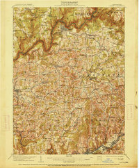
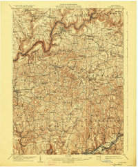
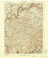
Editions of this 1907 Clarion Map
5 editions found
Other maps of this area

1900 · Kittanning
USGS Topo · 1:62,500

1901 · Rural Valley
USGS Topo · 1:62,500

1902 · Kittanning
USGS Topo · 1:62,500

1903 · Rural Valley
USGS Topo · 1:62,500

1906 · Clarion
USGS Topo · 1:62,500

1907 · Clarion
USGS Topo · 1:62,500

1907 · Foxburg
USGS Topo · 1:62,500

1908 · Foxburg
USGS Topo · 1:62,500

1909 · Smicksburg
USGS Topo · 1:62,500

1918 · Loleta
USGS Topo · 1:62,500