
1958 Map of Clarksburg
USGS Topo · Published 1959About this map
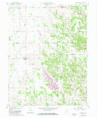
Clarksburg and Andersonville anchor this late-1950s landscape where the borders of Rush, Decatur, and Franklin counties converge. The terrain transitions from the relatively open farm country of Richland and Fugit townships in the west to the more dissected drainage systems of the east. These eastern reaches are defined by the winding paths of Salt Creek and the South Fork Salt Creek, which have carved intricate valleys through the limestone-heavy topography. The map documents a rural society organized around small social centers and family heritage, evidenced by numerous burial grounds such as Richland Cem, Old Brick Cem, and the Memorial Cem. A notable historical trace remains in the Treaty Boundary line that cuts diagonally across the eastern townships, marking an older era of territorial division that preceded the modern county grid. Local education and faith are represented by landmarks like the Township Sch and Hopewell Ch.
Find a feature on this map
32 named features on this map. Tap any name to fly to it.
Don’t see what you’re looking for? This feature index may not catch every label — zoom into the map to look around manually.
Map Details
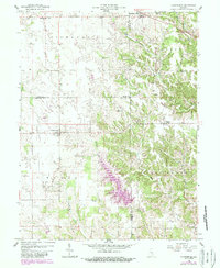
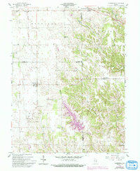
Editions of this 1958 Clarksburg Map
4 editions found
Other maps of this area

1946 · Batesville
USGS Topo · 1:24,000

1946 · New Point
USGS Topo · 1:24,000

1953 · Cincinnati
USGS Topo · 1:250,000

1956 · Alpine
USGS Topo · 1:24,000

1956 · Metamora
USGS Topo · 1:24,000

1957 · Cincinnati
USGS Topo · 1:250,000

1958 · Greensburg
USGS Topo · 1:24,000

1959 · Milroy
USGS Topo · 1:24,000

1959 · Rushville
USGS Topo · 1:24,000

1959 · New Salem
USGS Topo · 1:24,000