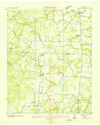
1950 Map of Clarksburg
USGS Topo · Published 1987About this map
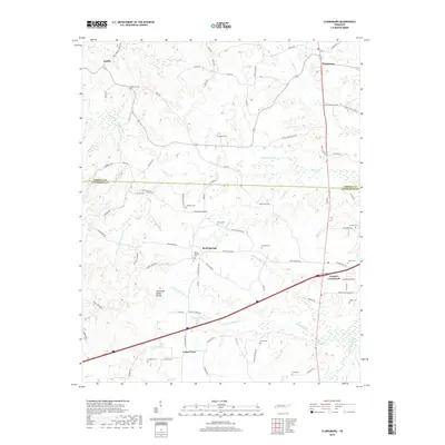
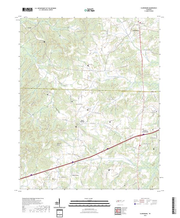
Clarksburg sits at the northern edge of a landscape defined by the Tennessee Valley Divide, where the waters of the Obion River system part from those feeding the Sandy River. This 1950 survey, updated in the mid-1980s, reveals a rural network of churches and schools that anchored West Tennessee communities before significant modern consolidation. Features like Hickory Plains Church, Mt Ararat Ch, and the Beaver Sch indicate a decentralized pattern of life along the creek bottoms. The geography of the Carroll and Henderson county line is marked by family-named landmarks and cemeteries, including the Rosser Cem and Douglass Cem. The emergence of Parker Crossroads and Interchange 108 represents the arrival of modern transportation corridors through the traditional farming landscape, while older settlements like Jumbo and Union Cross persist as smaller nodes.
Find a feature on this map
58 named features on this map. Tap any name to fly to it.
Don’t see what you’re looking for? This feature index may not catch every label — zoom into the map to look around manually.
Map Details
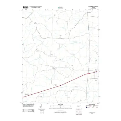
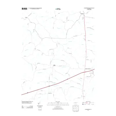
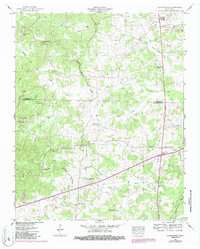
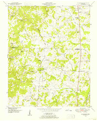
Editions of this 1950 Clarksburg Map
2 editions found
Historical Maps of Clarksburg Through Time
7 maps found