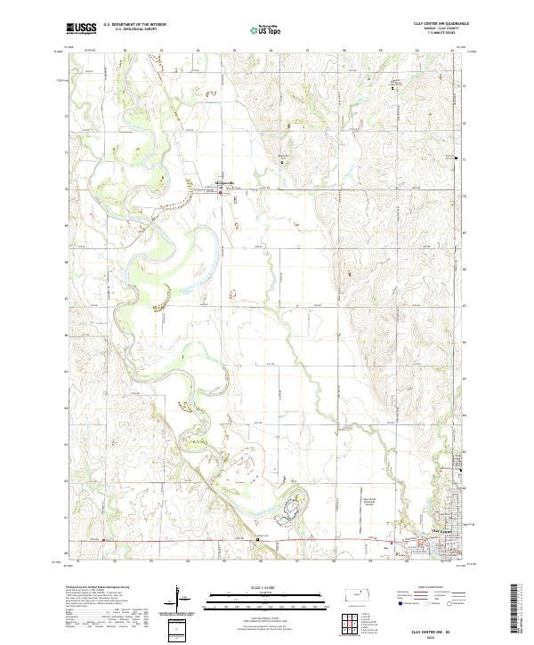
2022 Map of Clay Center NW
USGS Topo · Published 2022About this map
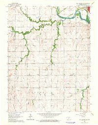
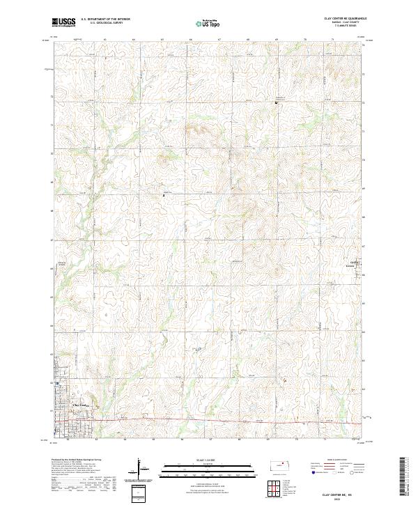
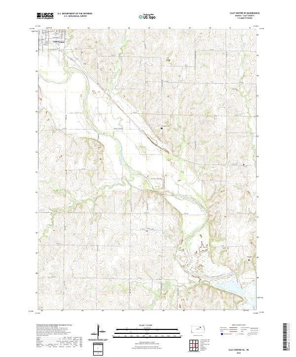
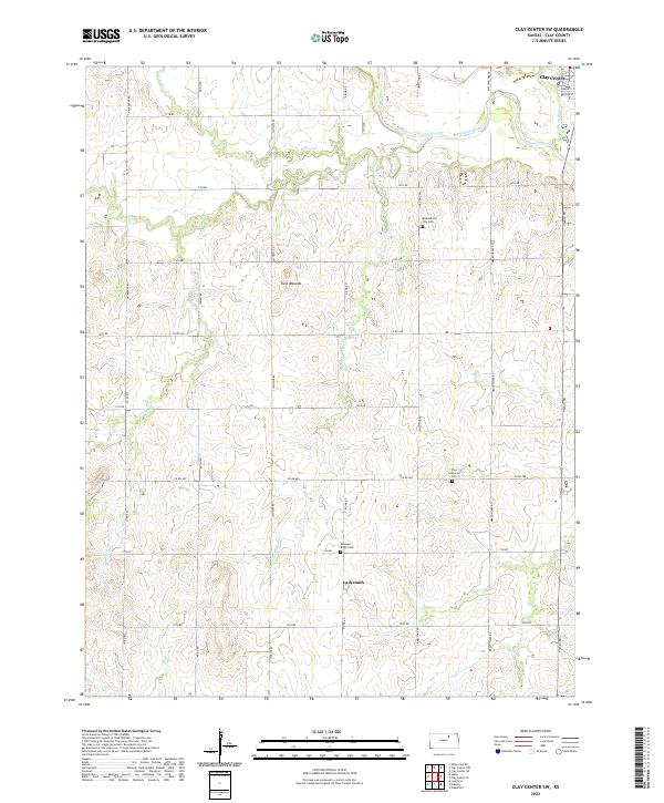
The Republican River creates a wide, meandering path through this section of Clay County, defining the agricultural landscape from Morganville down to the northern edge of Clay Center. This river corridor is marked by oxbows and seasonal hydrology, including Stillwater Lake, while the surrounding uplands are drained by several tributaries such as Mulberry Cr and Dry Cr. The settlement pattern follows a traditional grid of county roads, with significant local heritage preserved at sites like the Swedish Evangelical Lutheran Cem and Pleasant Hill Cem. At the southern margin, the city of Clay Center serves as the regional hub, anchored by the Clay County Courthouse and the Clay Center Municipal Airport. The map documents a rural landscape where infrastructure like the modern road network intersects with historic burial grounds and the persistent, shifting influence of the river valley.
Find a feature on this map
52 named features on this map. Tap any name to fly to it.
Don’t see what you’re looking for? This feature index may not catch every label — zoom into the map to look around manually.
Map Details
Editions of this 2022 Clay Center NW Map
This is the sole edition of this map. No revisions or reprints were ever made.
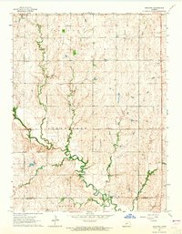
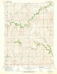
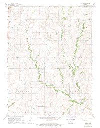
Historical Maps of Morganville Through Time
16 maps found
1964 Clay Center NE
Clay County, KS
1964 Clay Center NW
Clay County, KS
1964 Clay Center SE
Clay County, KS
1964 Clay Center SW
Clay County, KS
1964 Industry
Clay County, KS
1964 Miltonvale NE
Clay County, KS
1968 Linn SE
Clay County, KS
1968 Linn SW
Clay County, KS
2022 Clay Center NE
Clay County, KS
2022 Clay Center NW
Clay County, KS
2022 Clay Center SE
Clay County, KS
2022 Clay Center SW
Clay County, KS
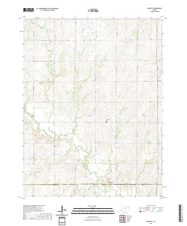
2022 Industry
Clay County, KS
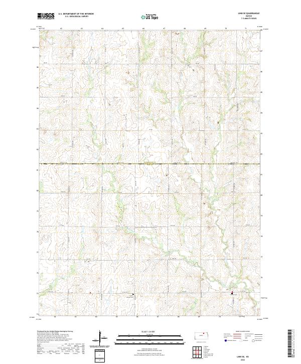
2022 Linn SE
Clay County, KS
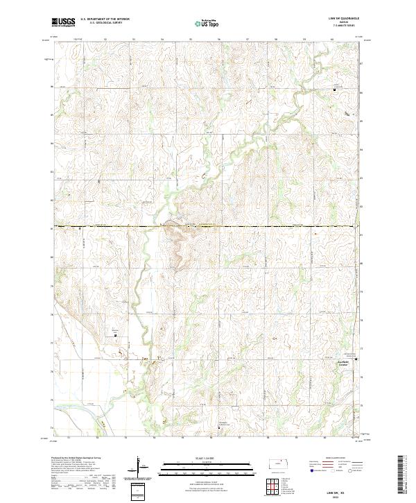
2022 Linn SW
Clay County, KS
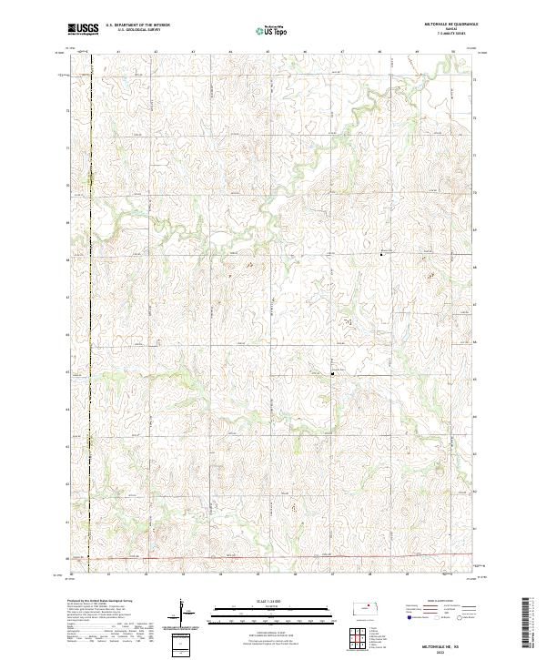
2022 Miltonvale NE
Clay County, KS