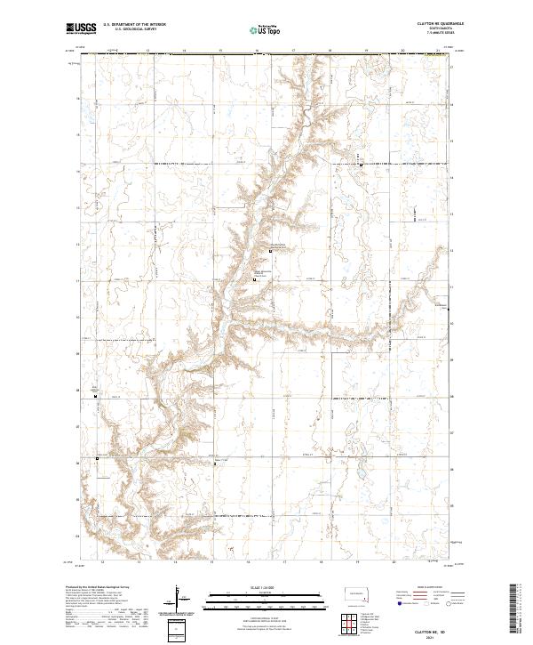
2021 Map of Clayton NE
USGS Topo · Published 2021About this map
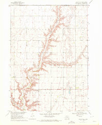
Mennonite and Lutheran heritage is deeply etched into this Hutchinson County landscape, where the meandering course of Wolf Cr cuts through the surveyed grid of the eastern Dakotas. The map reveals a high concentration of community burial grounds and religious sites, such as the Salem Mennonite Brethren Church Cem and Neu Hutterthal Mennonite Cem, which serve as physical markers of the family lineages and faith traditions that settled this prairie. Farther afield, isolated markers like the Hofer Cem, Kleinkassell Cem, and Unity Lutheran Cem dot the intersections of numbered section roads. The terrain is characterized by the contrast between the flat upland agricultural fields and the intricate drainage network surrounding the creek, illustrating how early pioneers adapted their farmsteads to the natural hydrology of the region.
Find a feature on this map
29 named features on this map. Tap any name to fly to it.
Don’t see what you’re looking for? This feature index may not catch every label — zoom into the map to look around manually.
Map Details
Editions of this 2021 Clayton NE Map
This is the sole edition of this map. No revisions or reprints were ever made.
Historical Maps of Pleasant Township Through Time
19 maps found
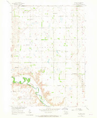
1957 Clayton
Hutchinson County, SD
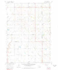
1957 Midway
Hutchinson County, SD
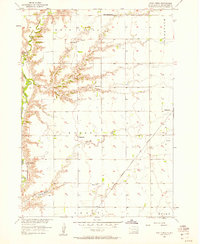
1957 Wolf Creek
Hutchinson County, SD
1970 Clayton NE
Hutchinson County, SD
1977 Oak Hollow
Hutchinson County, SD
1978 Oak Hollow
Hutchinson County, SD
1979 Delmont NE
Hutchinson County, SD
1979 Delmont SE
Hutchinson County, SD
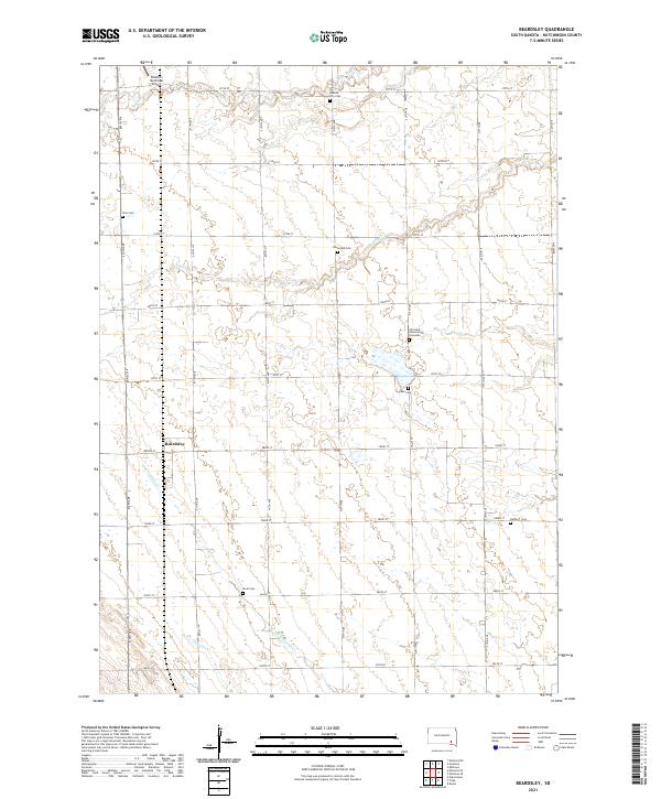
1980 Beardsley
Hutchinson County, SD
1980 Parkston SE
Hutchinson County, SD
2021 Beardsley
Hutchinson County, SD
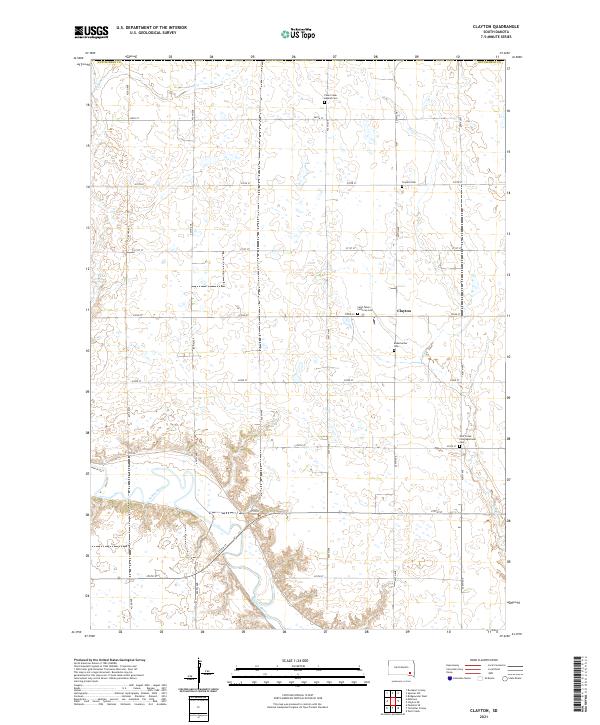
2021 Clayton
Hutchinson County, SD
2021 Clayton NE
Hutchinson County, SD
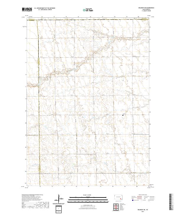
2021 Delmont NE
Hutchinson County, SD
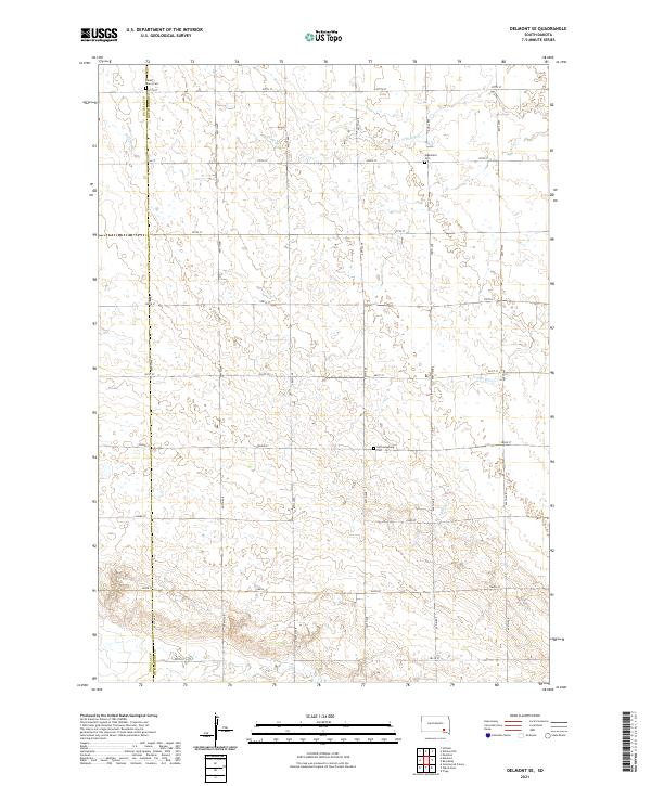
2021 Delmont SE
Hutchinson County, SD
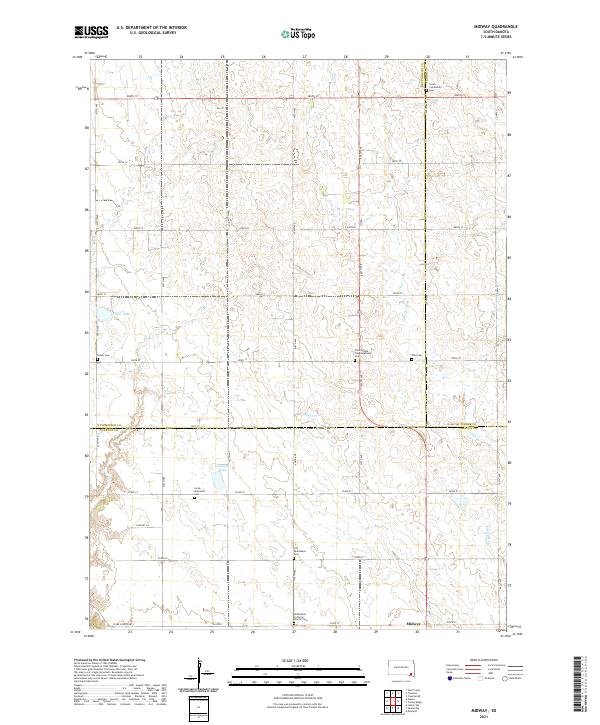
2021 Midway
Hutchinson County, SD
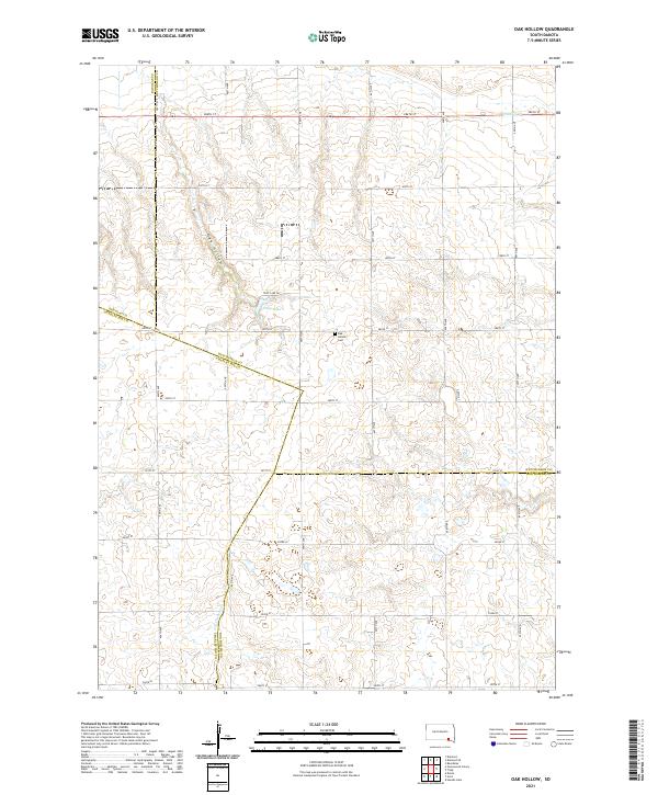
2021 Oak Hollow
Hutchinson County, SD
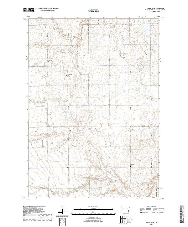
2021 Parkston SE
Hutchinson County, SD
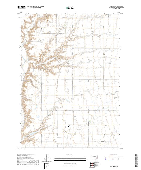
2021 Wolf Creek
Hutchinson County, SD
Featured Locations
- Taylor Township, SD
- Grandview Township, SD
- Pleasant Township, SD
- Silver Lake Township, SD
- Wolf Creek Township, SD