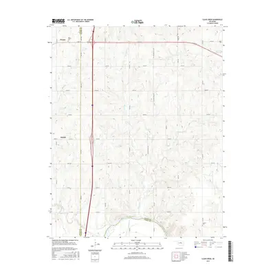
2016 Map of Clear Creek
USGS Topo · Published 2016About this map
Cimarron River winds along the southern boundary of this central Oklahoma landscape, where the rural topography of Logan and Payne counties is defined by the drainage systems of Clear Creek and Antelope Cr. The settlement patterns here are anchored by Orlando in the northwest and Mulhall to the west, connected by a network of sectional roads and the modern thoroughfares that follow historical corridors. Small communities and rural burial grounds like Salem Cem and Morris Heights Cem provide essential anchor points for genealogists tracing family roots in this prairie region.
Find a feature on this map
42 named features on this map. Tap any name to fly to it.
Don’t see what you’re looking for? This feature index may not catch every label — zoom into the map to look around manually.
Map Details
Editions of this 2016 Clear Creek Map
This is the sole edition of this map. No revisions or reprints were ever made.
Other maps of this area

1892 · Guthrie
USGS Topo · 1:62,500

1893 · Mulhall
USGS Topo · 1:62,500

1893 · Stillwater
USGS Topo · 1:62,500

1909 · Perkins
USGS Topo · 1:62,500

1954 · Oklahoma City
USGS Topo · 1:250,000

1955 · Enid
USGS Topo · 1:250,000

1957 · Oklahoma City
USGS Topo · 1:250,000

1958 · Enid
USGS Topo · 1:250,000

1963 · Oklahoma City
USGS Topo · 1:250,000

1966 · Lake Carl Blackwell
USGS Topo · 1:24,000