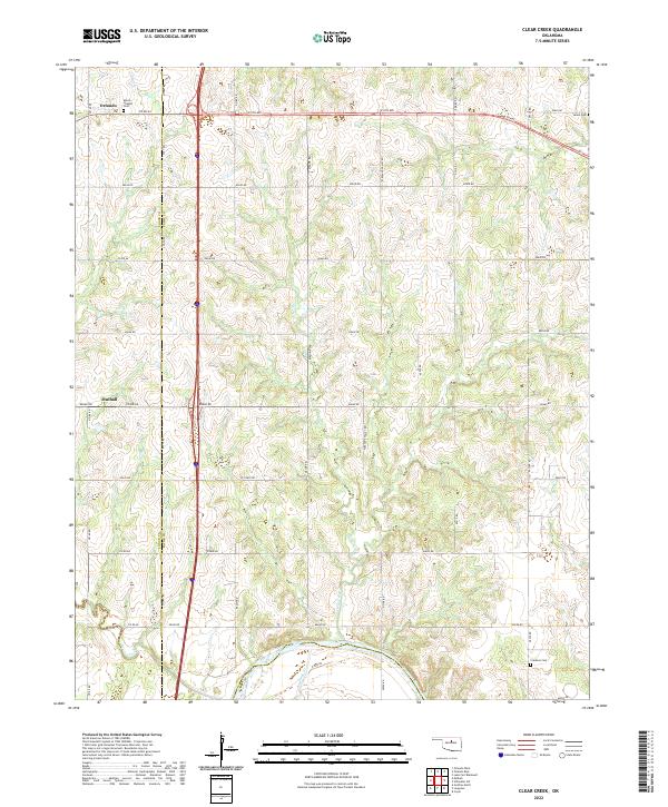
2022 Map of Clear Creek
USGS Topo · Published 2022About this map
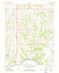
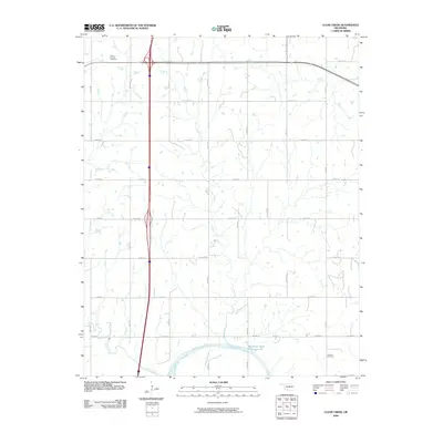
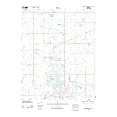
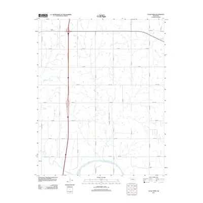
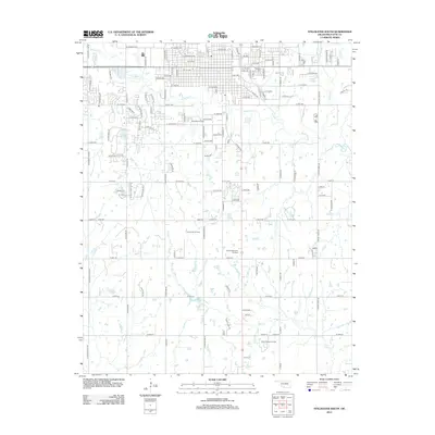
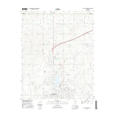
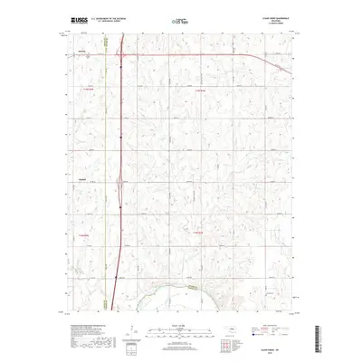
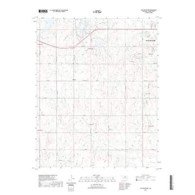
The Cimarron River winds across the southern portion of this landscape, marking a significant hydrological boundary in a region characterized by the drainages of Clear Cr and Antelope Cr. This area, straddling the border between Logan and Payne counties, is defined by its rural section-line road network, which connects established small communities and ancestral burial grounds. To the northwest, the town of Orlando sits near the county line, while Mulhall is positioned further south. Genealogists and local historians can find several key sites including Morris Heights Cem, Salem Cem, and Clarkson Cem. The survey illustrates the persistence of early Oklahoma land divisions, with the township and range lines of T19N and T18N organizing the farm-to-market road system that still dictates the rhythm of travel between these agricultural settlements.
Find a feature on this map
45 named features on this map. Tap any name to fly to it.
Don’t see what you’re looking for? This feature index may not catch every label — zoom into the map to look around manually.
Map Details
Editions of this 2022 Clear Creek Map
This is the sole edition of this map. No revisions or reprints were ever made.
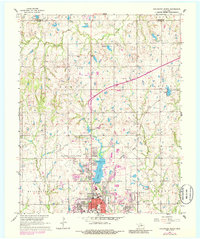
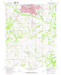
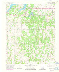
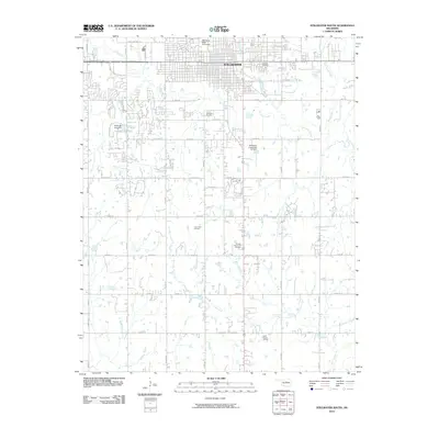
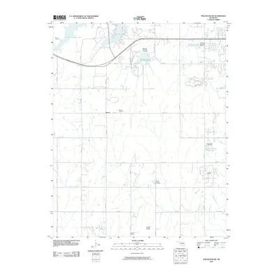
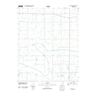
Historical Maps of Orlando Through Time
36 maps found
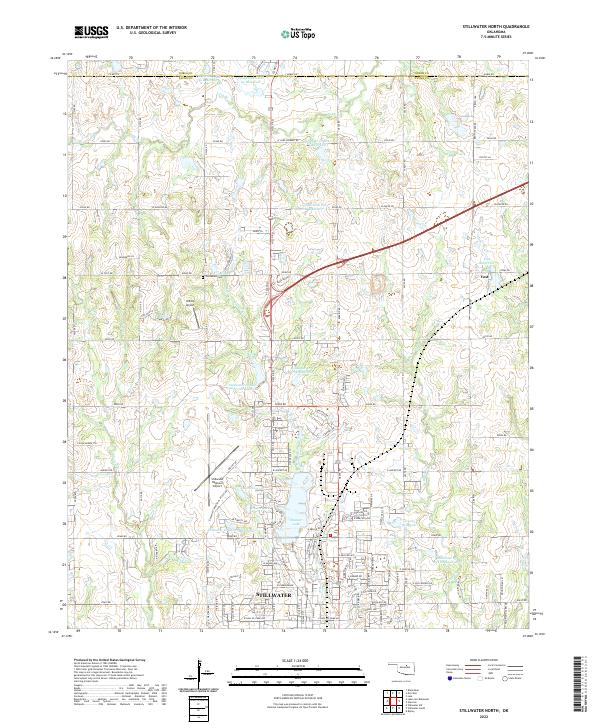
1967 Stillwater North
Payne County, OK
1967 Stillwater South
Payne County, OK
1967 Stillwater SW
Payne County, OK
1974 Clear Creek
Payne County, OK
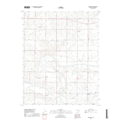
1975 Twin Mounds
Payne County, OK
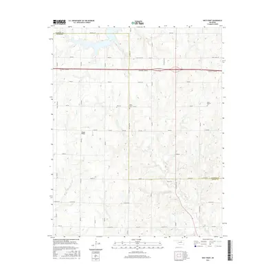
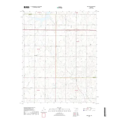
1975 West Point
Payne County, OK
2009 Clear Creek
Payne County, OK
2009 Stillwater North
Payne County, OK
2010 Stillwater South
Payne County, OK
2010 Stillwater SW
Payne County, OK
2010 Twin Mounds
Payne County, OK
2010 West Point
Payne County, OK
2012 Clear Creek
Payne County, OK
2012 Stillwater North
Payne County, OK
2012 Twin Mounds
Payne County, OK
2013 Stillwater South
Payne County, OK
2013 Stillwater SW
Payne County, OK
2013 West Point
Payne County, OK
2016 Clear Creek
Payne County, OK
2016 Stillwater North
Payne County, OK
2016 Stillwater South
Payne County, OK
2016 Stillwater SW
Payne County, OK
2016 Twin Mounds
Payne County, OK
2016 West Point
Payne County, OK
2018 Clear Creek
Payne County, OK
2018 Stillwater North
Payne County, OK
2018 Stillwater South
Payne County, OK
2018 Stillwater SW
Payne County, OK
2018 Twin Mounds
Payne County, OK
2018 West Point
Payne County, OK
2022 Clear Creek
Payne County, OK
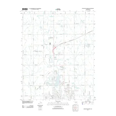
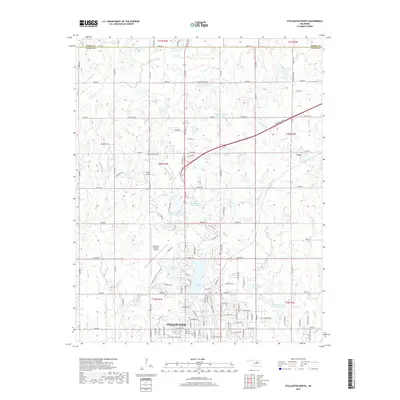
2022 Stillwater North
Payne County, OK
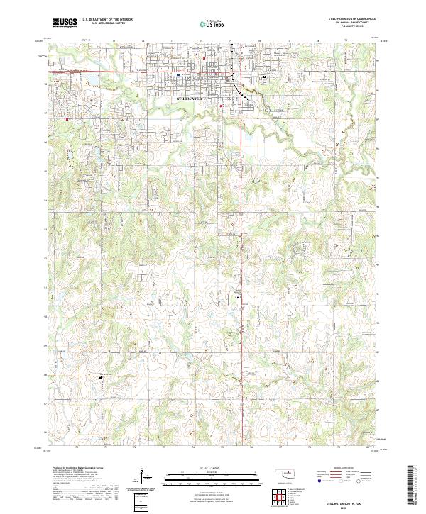
2022 Stillwater South
Payne County, OK
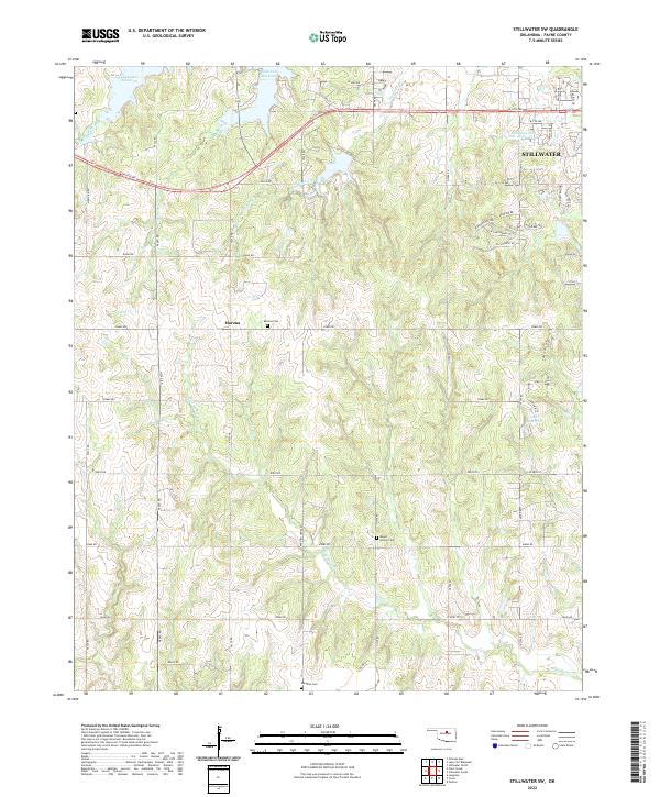
2022 Stillwater SW
Payne County, OK
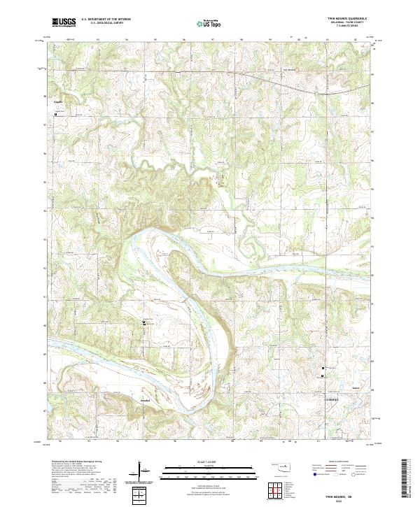
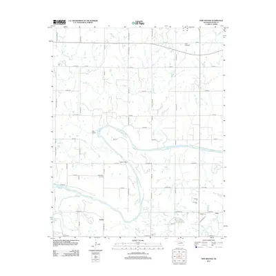
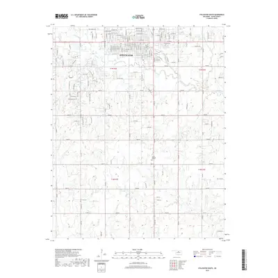
2022 Twin Mounds
Payne County, OK
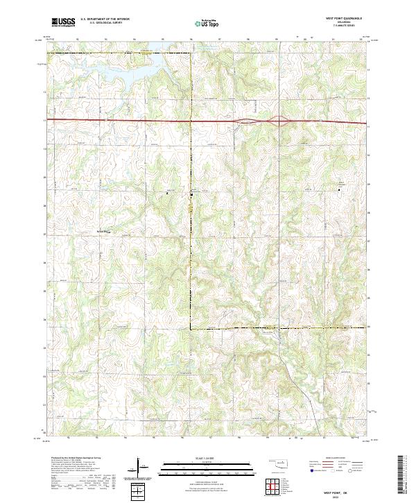
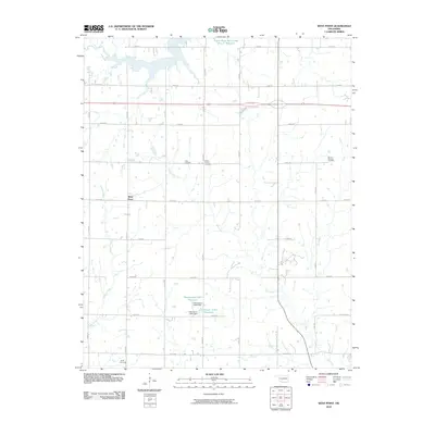
2022 West Point
Payne County, OK