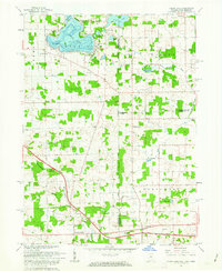
1961 Map of Clear Lake
USGS Topo · Published 1963About this map
Clear Lake serves as the focal point of this tri-state corner, where the boundaries of Indiana, Michigan, and Ohio converge. The early 1960s landscape shows a transition from the resort character of Paradise Point and the Latter Day Saints Church to the agricultural expanses of York and Northwest townships. Notable transportation infrastructure dominates the southern half of the map, specifically where the Indiana Toll Road meets the Ohio Turnpike at the Tollgate Eastpoint Terminal. Genealogists will find a high density of rural burial sites and landmarks, including Teeters Cemetery, Rogers Cemetery, and the settlement at Billingstown. The intricate drainage of the glaciated terrain is visible through systems like Fish Creek and Mill Stream Drain, which thread through scattered woodlots and wetlands such as Barnes Swamp.
Find a feature on this map
44 named features on this map. Tap any name to fly to it.
Don’t see what you’re looking for? This feature index may not catch every label — zoom into the map to look around manually.
Map Details
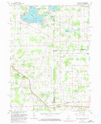
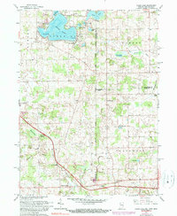
Editions of this 1961 Clear Lake Map
3 editions found
Other maps of this area

1914 · Pioneer
USGS Topo · 1:62,500

1939 · Hamilton
USGS Topo · 1:24,000

1939 · Angola East
USGS Topo · 1:24,000

1939 · Clear Lake
USGS Topo · 1:24,000

1940 · Metz
USGS Topo · 1:24,000

1940 · Clear Lake
USGS Topo · 1:24,000

1944 · Pioneer
USGS Topo · 1:62,500

1947 · Angola East
USGS Topo · 1:24,000

1948 · Hamilton
USGS Topo · 1:24,000

1953 · Fort Wayne
USGS Topo · 1:250,000