
1943 Map of Clearwater
USGS Topo · Published 1952About this map
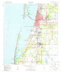
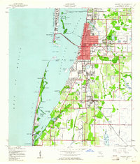
Belleair and Largo anchor this coastal landscape during a period of significant mid-century transition. The map captures a detailed view of the mainland and Sand Key, connected by the Clearwater Causeway. Notable for local historians is the Biltmore Hotel and the Clearwater Airport (Abandoned), indicating earlier phases of aviation and tourism infrastructure. The interior is defined by several water management features, including the McKay Cr Reservoir and Walsingham Reservoir, while the presence of the Pinellas Co Fair Grounds serves as a social landmark for the era. The transportation network is dominated by the Seaboard Air Line and Atlantic Coast Line railroads, which helped shape the growth of settlements like Anona, Baskin, and Walsingham before the intense suburbanization of later decades.
Find a feature on this map
55 named features on this map. Tap any name to fly to it.
Don’t see what you’re looking for? This feature index may not catch every label — zoom into the map to look around manually.
Map Details
Editions of this 1943 Clearwater Map
3 editions found
Other maps of this area

1921 · Sand Key
USGS Topo · 1:62,500

1921 · St Petersburg
USGS Topo · 1:62,500

1943 · St Petersburg
USGS Topo · 1:31,680

1943 · Bay Pines
USGS Topo · 1:31,680

1943 · Safety Harbor
USGS Topo · 1:31,680

1943 · Dunedin
USGS Topo · 1:31,680

1943 · Oldsmar
USGS Topo · 1:24,000

1944 · Oldsmar
USGS Topo · 1:31,680

1947 · St Petersburg
USGS Topo · 1:25,000
1947 · Safety Harbor
USGS Topo · 1:24,000