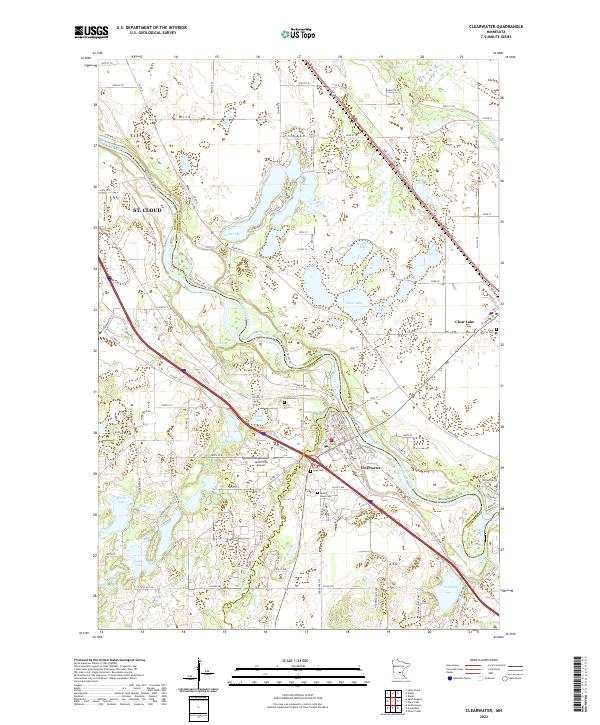
2022 Map of Clearwater
USGS Topo · Published 2022About this map
The Mississippi River carves a winding path through this region, forming the natural border between Stearns, Sherburne, and Wright counties. At the heart of the landscape, the settlement of Clearwater sits at the confluence where the Clearwater River meets the larger Mississippi, a site of long-standing regional importance for transport and drainage. Across the river, the village of Clear Lake provides a secondary anchor for local transit and commerce.
Find a feature on this map
130 named features on this map. Tap any name to fly to it.
Don’t see what you’re looking for? This feature index may not catch every label — zoom into the map to look around manually.
Map Details
Editions of this 2022 Clearwater Map
This is the sole edition of this map. No revisions or reprints were ever made.
Other maps of this area

1950 · St. Cloud
USGS Topo · 1:62,500

1951 · Annandale
USGS Topo · 1:62,500

1953 · Saint Cloud
USGS Topo · 1:250,000

1953 · Stillwater
USGS Topo · 1:250,000

1955 · Stillwater
USGS Topo · 1:250,000

1957 · Saint Cloud
USGS Topo · 1:250,000

1958 · Stillwater
USGS Topo · 1:250,000

1958 · Saint Cloud
USGS Topo · 1:250,000

1961 · Clear Lake
USGS Topo · 1:24,000

1961 · Silver Creek
USGS Topo · 1:24,000