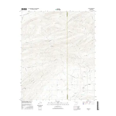
2016 Map of Clebit
USGS Topo · Published 2016About this map
Clebit and Pickens stand as the primary points of settlement in this remote corner of southeastern Oklahoma, positioned near the boundary of Pushmataha and McCurtain Counties. The landscape is defined by a dense network of watercourses, including the Little River in the northwest and various branches such as N Watson Cr, S Watson Cr, and Little Silver Cr. The area’s rugged character is evident in features like Bear Canyon and the numerous winding paths like Nolia Trl and Signal Trl that navigate the ridges.
Find a feature on this map
36 named features on this map. Tap any name to fly to it.
Don’t see what you’re looking for? This feature index may not catch every label — zoom into the map to look around manually.
Map Details
Editions of this 2016 Clebit Map
This is the sole edition of this map. No revisions or reprints were ever made.
Other maps of this area

1900 · Winding Stair
USGS Topo · 1:125,000

1901 · Tuskahoma
USGS Topo · 1:125,000

1901 · Alikchi
USGS Topo · 1:125,000

1902 · Lukfata
USGS Topo · 1:125,000

1908 · Tuskahoma
USGS Topo · 1:125,000

1909 · Tuskahoma
USGS Topo · 1:125,000

1909 · Winding Stair
USGS Topo · 1:125,000

1950 · Mcalester
USGS Topo · 1:250,000

1960 · Bethel
USGS Topo · 1:62,500

1962 · McAlester
USGS Topo · 1:250,000