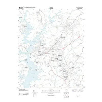
2011 Map of Clemson
USGS Topo · Published 2011About this map
Clemson University serves as the academic and cultural heart of this Piedmont landscape, surrounded by a dense network of residential developments and historic sites. The city of Clemson is characterized by its proximity to the expansive Hartwell Lake, which dominates the western geography where the Keowee River and Seneca River converge. The terrain is marked by numerous residential neighborhoods such as Douthit Hills, Calhoun Courts, and Isaqueena Village, illustrating the area's growth as a university town and regional hub.
Find a feature on this map
194 named features on this map. Tap any name to fly to it.
Don’t see what you’re looking for? This feature index may not catch every label — zoom into the map to look around manually.
Map Details
Editions of this 2011 Clemson Map
This is the sole edition of this map. No revisions or reprints were ever made.
Other maps of this area

1888 · Pickens
USGS Topo · 1:125,000

1894 · Pickens
USGS Topo · 1:125,000

1950 · La France
USGS Topo · 1:24,000

1951 · La France
USGS Topo · 1:24,000

1951 · Clemson
USGS Topo · 1:24,000

1954 · Greenville
USGS Topo · 1:250,000

1957 · Anderson
USGS Topo · 1:62,500

1957 · Easley
USGS Topo · 1:62,500

1958 · Greenville
USGS Topo · 1:250,000

1958 · Seneca
USGS Topo · 1:24,000