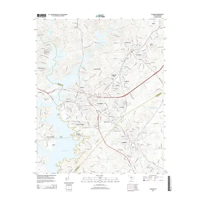
2014 Map of Clemson
USGS Topo · Published 2014About this map
Clemson and the expansive grounds of Clemson Univ dominate this map, where the sprawling fingers of Hartwell Lake reach into the Piedmont landscape. The region's higher education legacy is further marked by the presence of Southern Wesleyan Univ in nearby Central. This 2014 survey documents a modern suburban and academic corridor defined by the meeting of Pickens, Oconee, and Anderson counties. Along the shorelines and through the rolling terrain, numerous small residential enclaves like Mountaindale, Skyview, and Camelot have integrated with older community centers. Historical layers remain visible through the distribution of sacred sites, including Old Stone Cem and Lawrence Chapel Cem, while the course of Eighteenmile Creek and Issaqueena Lake provide natural boundaries to the southward expansion of the university town toward Pendleton.
Find a feature on this map
229 named features on this map. Tap any name to fly to it.
Don’t see what you’re looking for? This feature index may not catch every label — zoom into the map to look around manually.
Map Details
Editions of this 2014 Clemson Map
This is the sole edition of this map. No revisions or reprints were ever made.
Other maps of this area

1888 · Pickens
USGS Topo · 1:125,000

1894 · Pickens
USGS Topo · 1:125,000

1950 · La France
USGS Topo · 1:24,000

1951 · La France
USGS Topo · 1:24,000

1951 · Clemson
USGS Topo · 1:24,000

1954 · Greenville
USGS Topo · 1:250,000

1957 · Anderson
USGS Topo · 1:62,500

1957 · Easley
USGS Topo · 1:62,500

1958 · Greenville
USGS Topo · 1:250,000

1958 · Seneca
USGS Topo · 1:24,000