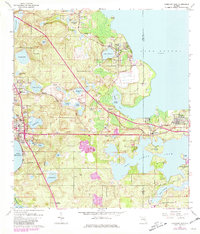
1962 Map of Clermont East
USGS Topo · Published 1981About this map
The sprawling eastern shore of Lake Apopka anchors this Florida survey, capturing a landscape defined by citrus groves and the evolving transportation network of the mid-20th century. Major rail hubs like Montverde Junction and Waits Junction demonstrate the historical importance of the Seaboard Coast Line railroad in moving local produce. The map illustrates a dense concentration of interior water bodies, including Lake Minnehaha, Lake Avalon, and the distinctive Teardrop Lake, separated by sandy ridges such as Orange Mountain. Local life is visible through landmarks like the Lincoln Park Sch, the Williams Cem, and the small Kerlin Airfield near Minneola. While traditional citrus operations are evidenced by features like Hickory Hammock Grove, the 1980 photorevisions highlight the arrival of Floridas Turnpike, signaling the transition toward modern suburban connectivity and regional growth around Clermont and Oakland.
Find a feature on this map
59 named features on this map. Tap any name to fly to it.
Don’t see what you’re looking for? This feature index may not catch every label — zoom into the map to look around manually.
Map Details
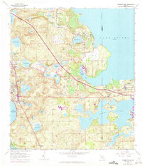
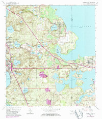
Editions of this 1962 Clermont East Map
4 editions found
Other maps of this area

1953 · Windermere
USGS Topo · 1:24,000

1955 · Orlando
USGS Topo · 1:250,000

1956 · Winter Garden
USGS Topo · 1:24,000

1957 · Orlando
USGS Topo · 1:250,000

1958 · Orlando
USGS Topo · 1:250,000

1959 · Lake Nellie
USGS Topo · 1:24,000

1959 · Lake Louisa
USGS Topo · 1:24,000

1960 · Apopka
USGS Topo · 1:24,000

1962 · Orlando
USGS Topo · 1:250,000

1962 · Clermont East
USGS Topo · 1:24,000