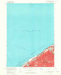
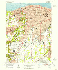
1963 Map of Cleveland North
USGS Topo · Published 1965About this map
Lake Erie dominates the northern half of this mid-century survey, defining the industrial and recreational shoreline of Cleveland. The downtown waterfront is a hub of activity, featuring the Burke Lakefront Airport and the iconic Municipal Stadium near the mouth of the Cuyahoga R. The city's grid is dense with institutional history, from St Johns College and Trinity Cathedral to numerous neighborhood landmarks like the Rockefeller Sch and Edison Sch.
Find a feature on this map
66 named features on this map. Tap any name to fly to it.
Don’t see what you’re looking for? This feature index may not catch every label — zoom into the map to look around manually.
Map Details
Editions of this 1963 Cleveland North Map
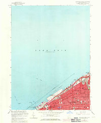
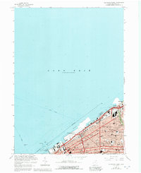
3 editions found
Other maps of this area

1901 · Euclid
USGS Topo · 1:62,500

1902 · Berea
USGS Topo · 1:62,500

1903 · Cleveland
USGS Topo · 1:62,500

1903 · Euclid
USGS Topo · 1:62,500

1904 · Berea
USGS Topo · 1:62,500

1950 · Cleveland
USGS Topo · 1:250,000

1953 · Shaker Heights
USGS Topo · 1:24,000

1953 · East Cleveland
USGS Topo · 1:24,000
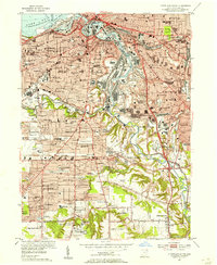
1953 · Cleveland South
USGS Topo · 1:24,000
1953 · Lakewood
USGS Topo · 1:24,000