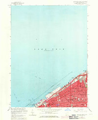
1963 Map of Cleveland North
USGS Topo · Published 1971About this map
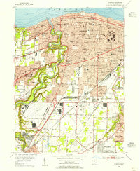
Lake Erie defines the northern reaches of this mid-century urban study, where the industrial and civic heart of Cleveland meets the shoreline. The lakefront is dominated by major infrastructure, including the Burke Lakefront Airport and the iconic Municipal Stadium situated near the Cuyahoga River mouth. Inland, the dense urban grid is articulated by thoroughfares like St Clair Ave and Euclid Ave, alongside an intensive concentration of religious and educational institutions such as Trinity Cathedral and the St Johns College.
Find a feature on this map
57 named features on this map. Tap any name to fly to it.
Don’t see what you’re looking for? This feature index may not catch every label — zoom into the map to look around manually.
Map Details
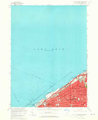
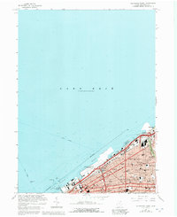
Editions of this 1963 Cleveland North Map
3 editions found
Other maps of this area

1901 · Euclid
USGS Topo · 1:62,500

1902 · Berea
USGS Topo · 1:62,500

1903 · Cleveland
USGS Topo · 1:62,500

1903 · Euclid
USGS Topo · 1:62,500

1904 · Berea
USGS Topo · 1:62,500

1950 · Cleveland
USGS Topo · 1:250,000

1953 · Shaker Heights
USGS Topo · 1:24,000

1953 · East Cleveland
USGS Topo · 1:24,000
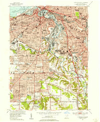
1953 · Cleveland South
USGS Topo · 1:24,000
1953 · Lakewood
USGS Topo · 1:24,000