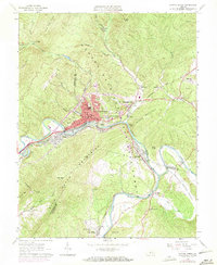
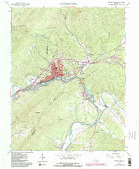
1962 Map of Clifton Forge
USGS Topo · Published 1971About this map
The confluence of the Jackson River and Cowpasture River forms the James River in the southeastern portion of this survey, a critical hydrographic junction that shaped the region's early industrial and transport identity. The Chesapeake and Ohio railroad corridor dominates the valley floor, connecting the hub of Clifton Forge to neighboring settlements like Selma and Iron Gate. This rail-oriented development is contrasted by the industrial archaeological site of Castle Furnace (Ruins) located along the riverbanks.
Find a feature on this map
58 named features on this map. Tap any name to fly to it.
Don’t see what you’re looking for? This feature index may not catch every label — zoom into the map to look around manually.
Map Details
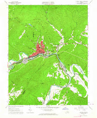
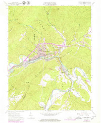
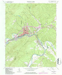
Editions of this 1962 Clifton Forge Map
5 editions found
Other maps of this area

1894 · Natural Bridge
USGS Topo · 1:125,000

1894 · Natural Bridge
USGS Topo · 1:62,500

1907 · Natural Bridge Special
USGS Topo · 1:62,500

1913 · Eagle Rock
USGS Topo · 1:48,000

1915 · Eagle Rock
USGS Topo · 1:62,500

1929 · Falling Spring
USGS Topo · 1:24,000

1931 · Healing Springs
USGS Topo · 1:24,000

1932 · Falling Spring
USGS Topo · 1:31,680

1933 · Healing Springs
USGS Topo · 1:31,680

1945 · Clifton Forge
USGS Topo · 1:62,500