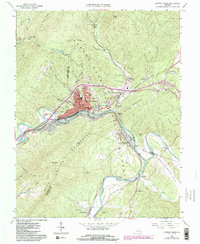
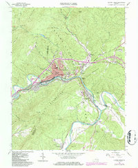
1962 Map of Clifton Forge
USGS Topo · Published 1986About this map
Clifton Forge sits at a critical rail-and-river junction where the Jackson River cuts through the mountains to meet the Cowpasture River, forming the headwaters of the James River. This 1962 survey, updated with 1980s data, reveals the town as a dense hub of the Chesapeake and Ohio railroad network. The industrial character of the region is evident in features like the Callie Furnace (Ruins) and the Filtration Plant, while the community’s social fabric is anchored by the C & O Hospital, the Clifton Forge High Sch, and the Dabney S Lancaster Community College. Beyond the town limits, the terrain rises sharply into the George Washington National Forest and Patch Mountain. The convergence of these major waterways and the railroad created a landscape defined by movement and manufacturing, visible from Selma down through the Rainbow Gap to the settlement of Iron Gate.
Find a feature on this map
59 named features on this map. Tap any name to fly to it.
Don’t see what you’re looking for? This feature index may not catch every label — zoom into the map to look around manually.
Map Details
Editions of this 1962 Clifton Forge Map
5 editions found
Other maps of this area

1894 · Natural Bridge
USGS Topo · 1:125,000

1894 · Natural Bridge
USGS Topo · 1:62,500

1907 · Natural Bridge Special
USGS Topo · 1:62,500

1913 · Eagle Rock
USGS Topo · 1:48,000

1915 · Eagle Rock
USGS Topo · 1:62,500

1929 · Falling Spring
USGS Topo · 1:24,000

1931 · Healing Springs
USGS Topo · 1:24,000

1932 · Falling Spring
USGS Topo · 1:31,680

1933 · Healing Springs
USGS Topo · 1:31,680

1945 · Clifton Forge
USGS Topo · 1:62,500