
1902 Map of Clifton
USGS Topo · Published 1902About this map
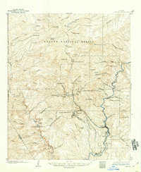
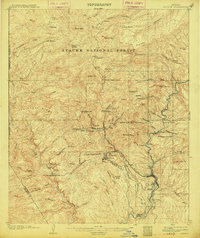
Industrial copper production dominates the landscape of the Arizona Territory in this 1902 survey, centered on the concentrated mining operations at Metcalf, Morenci, and Clifton. The map reveals the intricate technological infrastructure required for high-desert extraction, featuring the Coronado RR, Morenci Southern RR, and several steep transit systems like the King Incline and Longfellow Incline. These rail lines snake through the canyons to connect the Coronado Mines and Copper Mt with the Shannon Smelter situated along the San Francisco River. Outside the industrial core, the landscape transitions to remote outposts like Goat Ranch and Granville, alongside seasonal water sources such as Quail Spring and Tule Springs. The presence of Oroville and Ward illustrates the early settlement patterns that grew in the shadow of the massive mining peaks, including Shannon Mt and Coronado Mt.
Find a feature on this map
73 named features on this map. Tap any name to fly to it.
Don’t see what you’re looking for? This feature index may not catch every label — zoom into the map to look around manually.
Map Details
Editions of this 1902 Clifton Map
3 editions found
Other maps of this area

1913 · Morenci
USGS Topo · 1:125,000

1915 · Morenci
USGS Topo · 1:125,000

1954 · Silver City
USGS Topo · 1:250,000

1954 · Clifton
USGS Topo · 1:250,000

1957 · Clifton
USGS Topo · 1:250,000

1958 · Silver City
USGS Topo · 1:250,000

1958 · Clifton
USGS Topo · 1:250,000

1959 · York Valley
USGS Topo · 1:62,500

1960 · Guthrie
USGS Topo · 1:62,500

1960 · Safford
USGS Topo · 1:62,500