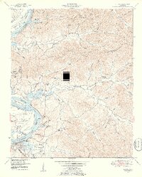
1949 Map of Clifton
USGS Topo · Published 1952About this map
Clifton serves as the primary hub along the eastern bank of the Tennessee River at a time when the waterway was newly transformed into Kentucky Lake. The landscape is a network of deep hollows and narrow ridges, such as New Era Ridge and Kittrell Ridge, where small rural communities like Peters Landing and Lego School managed to thrive. The survey captures a moment when river landings like Glenkirk Landing and Lego Landing remained prominent landmarks for navigation and local commerce.
Find a feature on this map
81 named features on this map. Tap any name to fly to it.
Don’t see what you’re looking for? This feature index may not catch every label — zoom into the map to look around manually.
Map Details
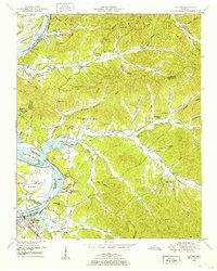
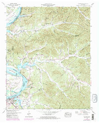
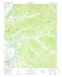
Editions of this 1949 Clifton Map
4 editions found
Other maps of this area

1905 · Waynesboro
USGS Topo · 1:125,000

1936 · Eagle Creek
USGS Topo · 1:24,000

1936 · Olivehill
USGS Topo · 1:24,000

1936 · Bath Springs
USGS Topo · 1:24,000

1936 · Linden
USGS Topo · 1:24,000

1936 · Leatherwood
USGS Topo · 1:24,000

1936 · Clifton
USGS Topo · 1:24,000

1936 · Perryville
USGS Topo · 1:24,000

1936 · Waynesboro
USGS Topo · 1:24,000

1936 · Pope
USGS Topo · 1:24,000