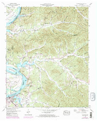
1949 Map of Clifton
USGS Topo · Published 1973About this map
Clifton serves as the primary riverfront settlement on this 1949 topographic survey, situated at a major bend in the Tennessee River. The landscape is characterized by the expansive waters of Kentucky Lake and a complex network of high ridges like New Era Ridge and Kittrell Ridge. These highlands are deeply dissected by numerous hollows, many of which bear the names of local families, such as Deaton Hollow, Warren Hollow, and Pevehouse Hollow, reflecting a long history of settlement in the Tennessee River Valley.
Find a feature on this map
75 named features on this map. Tap any name to fly to it.
Don’t see what you’re looking for? This feature index may not catch every label — zoom into the map to look around manually.
Map Details
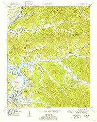
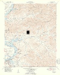
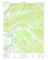
Editions of this 1949 Clifton Map
4 editions found
Other maps of this area

1905 · Waynesboro
USGS Topo · 1:125,000

1936 · Eagle Creek
USGS Topo · 1:24,000

1936 · Olivehill
USGS Topo · 1:24,000

1936 · Bath Springs
USGS Topo · 1:24,000

1936 · Linden
USGS Topo · 1:24,000

1936 · Leatherwood
USGS Topo · 1:24,000

1936 · Clifton
USGS Topo · 1:24,000

1936 · Perryville
USGS Topo · 1:24,000

1936 · Waynesboro
USGS Topo · 1:24,000

1936 · Pope
USGS Topo · 1:24,000