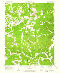
1960 Map of Climax Springs
USGS Topo · Published 1961About this map
Climax Springs and the surrounding Ozark plateau terrain are defined by the winding course of the Little Niangua River and its numerous tributaries. This 1960 field-checked survey reveals a landscape where life follows the ridges and hollows, with the Climax Springs Lookout Tower standing as a prominent landmark on the high ground near Canfield Ridge. The map illustrates a rural network of country roads connecting isolated centers of community life, including the Wiseman Ch and Harmony Ch.
Find a feature on this map
31 named features on this map. Tap any name to fly to it.
Don’t see what you’re looking for? This feature index may not catch every label — zoom into the map to look around manually.
Map Details
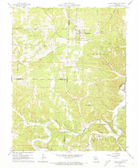
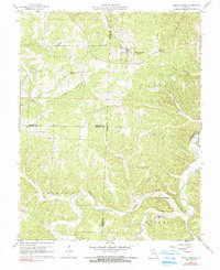
Editions of this 1960 Climax Springs Map
3 editions found
Other maps of this area

1884 · Bolivar
USGS Topo · 1:125,000

1887 · Warsaw
USGS Topo · 1:125,000

1888 · Versailles
USGS Topo · 1:125,000

1892 · Bolivar
USGS Topo · 1:125,000

1893 · Versailles
USGS Topo · 1:125,000

1894 · Warsaw
USGS Topo · 1:125,000

1934 · Macks Creek
USGS Topo · 1:48,000

1934 · Irontown Ferry
USGS Topo · 1:24,000

1935 · Barnumton
USGS Topo · 1:24,000

1935 · Edwards
USGS Topo · 1:24,000