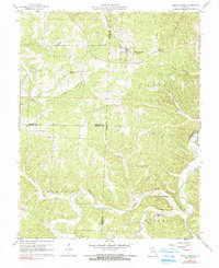
1960 Map of Climax Springs
USGS Topo · Published 1991About this map
Climax Springs serves as the primary hub in this Missouri Ozarks landscape, where the rugged terrain is defined by the convergence of the Niangua River and the Little Niangua River. This 1960 era survey reveals a community deeply tied to its geography, with local life centered around rural landmarks like Wiseman Ch and Green Ridge Ch. The map captures the intricate drainage patterns of Deer Creek, Fiery Fork, and Starks Creek, while the Climax Springs Lookout Tower stands as a prominent high point on the ridge. Genealogical interest is found in the scattered burial grounds, including Climax Springs Cem and Creech Cem, providing a clear view of the settlement footprint before modernization. The boundary lines of Benton, Camden, and Hickory counties meet here, highlighting the intersection of local jurisdictions amidst the steep valleys of Canfield Ridge and Davenport Hollow.
Find a feature on this map
31 named features on this map. Tap any name to fly to it.
Don’t see what you’re looking for? This feature index may not catch every label — zoom into the map to look around manually.
Map Details
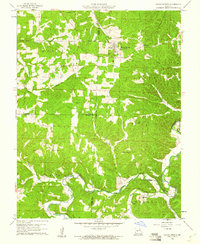
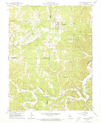
Editions of this 1960 Climax Springs Map
3 editions found
Other maps of this area

1884 · Bolivar
USGS Topo · 1:125,000

1887 · Warsaw
USGS Topo · 1:125,000

1888 · Versailles
USGS Topo · 1:125,000

1892 · Bolivar
USGS Topo · 1:125,000

1893 · Versailles
USGS Topo · 1:125,000

1894 · Warsaw
USGS Topo · 1:125,000

1934 · Macks Creek
USGS Topo · 1:48,000

1934 · Irontown Ferry
USGS Topo · 1:24,000

1935 · Barnumton
USGS Topo · 1:24,000

1935 · Edwards
USGS Topo · 1:24,000