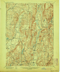
1901 Map of Clove
USGS Topo · Published 1905About this map
Dover Plains and the surrounding Harlem Valley corridor reveal a landscape of well-established agriculture and early industry at the start of the twentieth century. The Harlem Division of the New York Central serves as a primary north-south artery, connecting settlements like Dover Furnace and Wing's Station to the broader regional economy. The eastern edge of the survey follows the New York Connecticut Boundary Line, where the terrain rises sharply toward Schaghticoke Mt and the Housatonic River.
Find a feature on this map
75 named features on this map. Tap any name to fly to it.
Don’t see what you’re looking for? This feature index may not catch every label — zoom into the map to look around manually.
Map Details
Editions of this 1901 Clove Map
11 editions found

1901 edition
16.6 x 20.1 inches
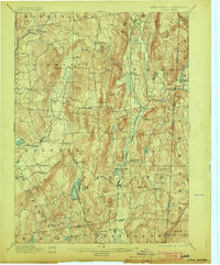
1903 edition
16.6 x 20.1 inches
1905 edition
16.6 x 20.1 inches
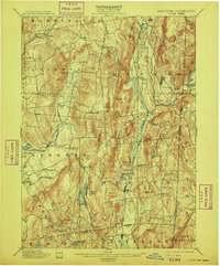
1909 edition
16.6 x 20.1 inches
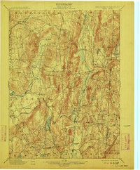
1912 edition
16.6 x 20.1 inches
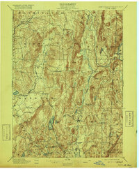
1916 edition
16.6 x 20.1 inches
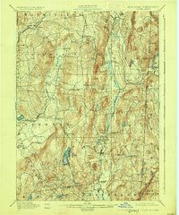
1925 edition
16.5 x 19.9 inches
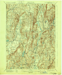
1928 edition
16.6 x 20.1 inches
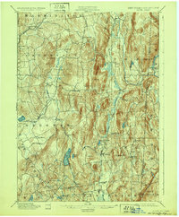
1932 edition
16.6 x 20.1 inches
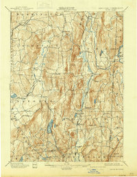
1938 edition
16 x 20.6 inches
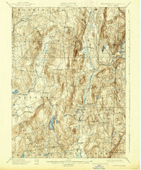
1938 edition
16.3 x 19.7 inches
Other maps of this area

1892 · West Point
USGS Topo · 1:62,500

1892 · Danbury
USGS Topo · 1:62,500

1892 · Cornwall
USGS Topo · 1:62,500

1892 · New Milford
USGS Topo · 1:62,500

1892 · Carmel
USGS Topo · 1:62,500

1893 · Carmel
USGS Topo · 1:62,500

1893 · New Milford
USGS Topo · 1:62,500

1893 · Cornwall
USGS Topo · 1:62,500

1893 · Clove
USGS Topo · 1:62,500

1893 · Poughkeepsie
USGS Topo · 1:62,500