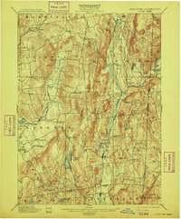
1901 Map of Clove
USGS Topo · Published 1909About this map
Dover Plains and Pawling anchor a landscape defined by the parallel ridges of eastern Dutchess County at the turn of the century. The map reveals a robust agricultural and rail-dependent economy, where the Harlem Division and the New York and New England Railroad carved paths through the valley floors to connect local hamlets. Small-scale commerce and industry are evident at sites like Crouses Store and Moores Mill, while the rural uplands are punctuated by family-named landmarks such as Bald Mt and Corbin Hill. The presence of Sharparoon Pond and the Tenmile River illustrates the vital water resources that supported these communities. This survey captures a specific era of New York's Hudson Valley history, just as the New York and Connecticut Boundary Line was being formally codified through the hills near Quaker Hill.
Find a feature on this map
66 named features on this map. Tap any name to fly to it.
Don’t see what you’re looking for? This feature index may not catch every label — zoom into the map to look around manually.
Map Details
Editions of this 1901 Clove Map
11 editions found

1901 edition
16.6 x 20.1 inches
1903 edition
16.6 x 20.1 inches
1905 edition
16.6 x 20.1 inches
1909 edition
16.6 x 20.1 inches
1912 edition
16.6 x 20.1 inches
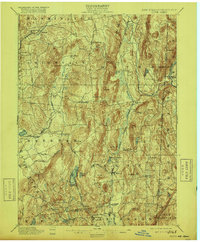
1916 edition
16.6 x 20.1 inches
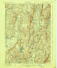
1925 edition
16.5 x 19.9 inches
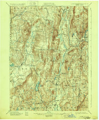
1928 edition
16.6 x 20.1 inches
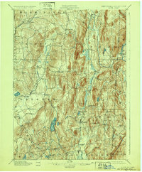
1932 edition
16.6 x 20.1 inches
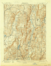
1938 edition
16 x 20.6 inches
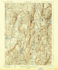
1938 edition
16.3 x 19.7 inches
Other maps of this area

1892 · West Point
USGS Topo · 1:62,500

1892 · Danbury
USGS Topo · 1:62,500

1892 · Cornwall
USGS Topo · 1:62,500

1892 · New Milford
USGS Topo · 1:62,500

1892 · Carmel
USGS Topo · 1:62,500

1893 · Carmel
USGS Topo · 1:62,500

1893 · New Milford
USGS Topo · 1:62,500

1893 · Cornwall
USGS Topo · 1:62,500

1893 · Clove
USGS Topo · 1:62,500

1893 · Poughkeepsie
USGS Topo · 1:62,500