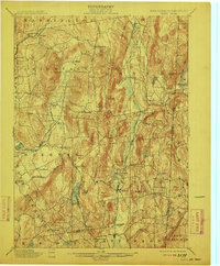
1901 Map of Clove
USGS Topo · Published 1912About this map
The Tenmile River and Swamp River valleys carve through the high ridges of eastern Dutchess County in this 1891 survey, captured just before the turn of the century. The landscape is defined by its transit corridors, most notably the New York and Harlem Division railroad passing through Dover Plains and Pawling. This era shows a network of small agricultural and industrial hubs like Dover Furnace, Crouses Store, and Verbank Village, many of which were centers of local commerce and iron production. High-elevation landmarks such as Schaghticoke Mt and Mizzentop overlook the Connecticut border, while the southern portion of the sheet reveals the early development around Sylvan Lake and Whaley Pond. The map provides an intricate look at the rural road networks and family-named landmarks that preceded modern highway expansion in the Harlem Valley.
Find a feature on this map
73 named features on this map. Tap any name to fly to it.
Don’t see what you’re looking for? This feature index may not catch every label — zoom into the map to look around manually.
Map Details
Editions of this 1901 Clove Map
11 editions found

1901 edition
16.6 x 20.1 inches
1903 edition
16.6 x 20.1 inches
1905 edition
16.6 x 20.1 inches
1909 edition
16.6 x 20.1 inches
1912 edition
16.6 x 20.1 inches
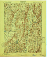
1916 edition
16.6 x 20.1 inches
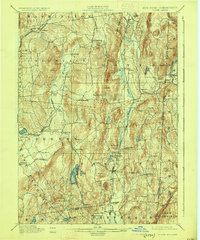
1925 edition
16.5 x 19.9 inches
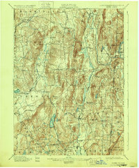
1928 edition
16.6 x 20.1 inches
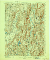
1932 edition
16.6 x 20.1 inches
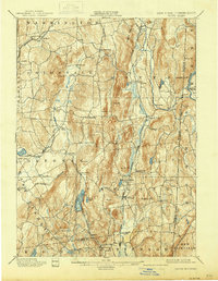
1938 edition
16 x 20.6 inches
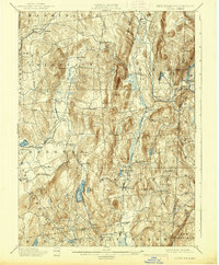
1938 edition
16.3 x 19.7 inches
Other maps of this area

1892 · West Point
USGS Topo · 1:62,500

1892 · Danbury
USGS Topo · 1:62,500

1892 · Cornwall
USGS Topo · 1:62,500

1892 · New Milford
USGS Topo · 1:62,500

1892 · Carmel
USGS Topo · 1:62,500

1893 · Carmel
USGS Topo · 1:62,500

1893 · New Milford
USGS Topo · 1:62,500

1893 · Cornwall
USGS Topo · 1:62,500

1893 · Clove
USGS Topo · 1:62,500

1893 · Poughkeepsie
USGS Topo · 1:62,500