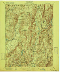
1901 Map of Clove
USGS Topo · Published 1916About this map
Dover Plains and the Tenmile River valley anchor this turn-of-the-century portrait of eastern Dutchess County, where the highlands of Chestnut Ridge and Quaker Hill meet the New York and Connecticut border. The landscape is defined by its early rail corridors, with the Harlem Division of the New York Central and the Newburgh Dutchess and Connecticut Railroad facilitating travel between agricultural centers like Verbank Village and Patterson.
Find a feature on this map
71 named features on this map. Tap any name to fly to it.
Don’t see what you’re looking for? This feature index may not catch every label — zoom into the map to look around manually.
Map Details
Editions of this 1901 Clove Map
11 editions found

1901 edition
16.6 x 20.1 inches
1903 edition
16.6 x 20.1 inches
1905 edition
16.6 x 20.1 inches
1909 edition
16.6 x 20.1 inches
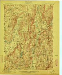
1912 edition
16.6 x 20.1 inches
1916 edition
16.6 x 20.1 inches
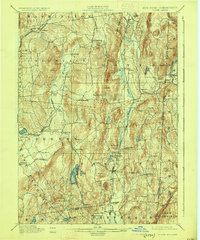
1925 edition
16.5 x 19.9 inches
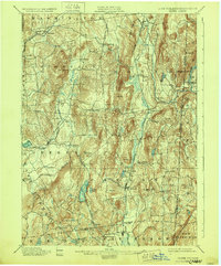
1928 edition
16.6 x 20.1 inches
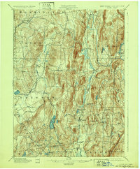
1932 edition
16.6 x 20.1 inches
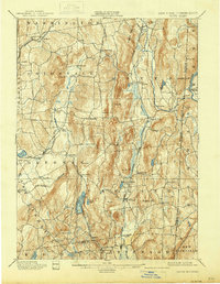
1938 edition
16 x 20.6 inches
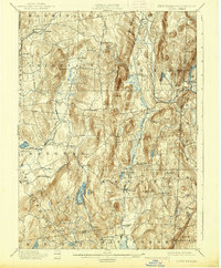
1938 edition
16.3 x 19.7 inches
Other maps of this area

1892 · West Point
USGS Topo · 1:62,500

1892 · Danbury
USGS Topo · 1:62,500

1892 · Cornwall
USGS Topo · 1:62,500

1892 · New Milford
USGS Topo · 1:62,500

1892 · Carmel
USGS Topo · 1:62,500

1893 · Carmel
USGS Topo · 1:62,500

1893 · New Milford
USGS Topo · 1:62,500

1893 · Cornwall
USGS Topo · 1:62,500

1893 · Clove
USGS Topo · 1:62,500

1893 · Poughkeepsie
USGS Topo · 1:62,500