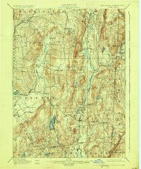
1901 Map of Clove
USGS Topo · Published 1925About this map
The Harlem Valley and the hills of eastern Dutchess County are defined by a complex network of 19th-century rail lines and agricultural hamlets. The Harlem Division runs through the central valley, connecting Dover Plains, Pawling, and Patterson, while the Newburgh Dutchess and Connecticut R.R. and the Dutchess County Railroad traverse the western ridges near Beekman. Industrial history is evident at Dover Furnace, while commercial hubs like Crouses Store and Wings Station represent the vital crossroads of the era. The terrain is marked by prominent elevations such as Quaker Hill and Bald Mt., with numerous water bodies including Sylvan Lake and Whaley Pond providing the geographic anchors for settlements like Stormville and Poughquag.
Find a feature on this map
72 named features on this map. Tap any name to fly to it.
Don’t see what you’re looking for? This feature index may not catch every label — zoom into the map to look around manually.
Map Details
Editions of this 1901 Clove Map
11 editions found

1901 edition
16.6 x 20.1 inches
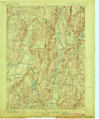
1903 edition
16.6 x 20.1 inches
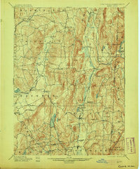
1905 edition
16.6 x 20.1 inches
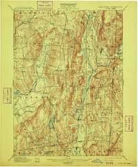
1909 edition
16.6 x 20.1 inches
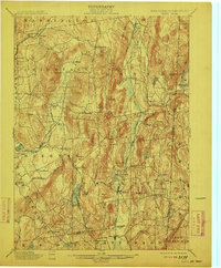
1912 edition
16.6 x 20.1 inches
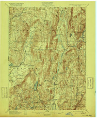
1916 edition
16.6 x 20.1 inches
1925 edition
16.5 x 19.9 inches
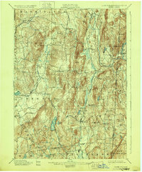
1928 edition
16.6 x 20.1 inches
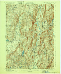
1932 edition
16.6 x 20.1 inches
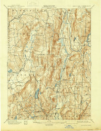
1938 edition
16 x 20.6 inches
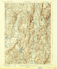
1938 edition
16.3 x 19.7 inches
Other maps of this area

1892 · West Point
USGS Topo · 1:62,500

1892 · Danbury
USGS Topo · 1:62,500

1892 · Cornwall
USGS Topo · 1:62,500

1892 · New Milford
USGS Topo · 1:62,500

1892 · Carmel
USGS Topo · 1:62,500

1893 · Carmel
USGS Topo · 1:62,500

1893 · New Milford
USGS Topo · 1:62,500

1893 · Cornwall
USGS Topo · 1:62,500

1893 · Clove
USGS Topo · 1:62,500

1893 · Poughkeepsie
USGS Topo · 1:62,500