
1901 Map of Clove
USGS Topo · Published 1901About this map
Dover Plains and Dover Furnace anchor the eastern valleys of this 1891 survey, where the Harlem Division of the New York Central and Hudson River Railroad follows the north-south corridor of the Tenmile River. The map captures a sophisticated network of small agrarian and early industrial hamlets across the borderlands of New York and Connecticut. Settlement patterns are dictated by the deep ridges of Chestnut Ridge and Quaker Hill, with commerce concentrated at junctions like Wing's Station and Crouses Store. To the south, the New York and New England Railroad cuts through Stormville and Green Haven, connecting the hudson highlands to the valleys of Pawling and Patterson. From the shores of Sylvan Lake to the heights of Schaghticoke Mt. on the state boundary, the terrain is dotted with small-scale industries and family-named landmarks like Allen Mt. and Pecksville.
Find a feature on this map
70 named features on this map. Tap any name to fly to it.
Don’t see what you’re looking for? This feature index may not catch every label — zoom into the map to look around manually.
Map Details
Editions of this 1901 Clove Map
11 editions found
1901 edition
16.6 x 20.1 inches
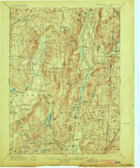
1903 edition
16.6 x 20.1 inches
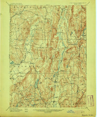
1905 edition
16.6 x 20.1 inches
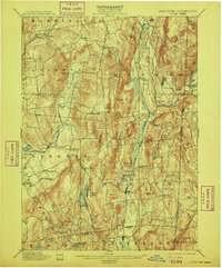
1909 edition
16.6 x 20.1 inches
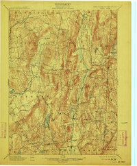
1912 edition
16.6 x 20.1 inches
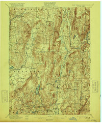
1916 edition
16.6 x 20.1 inches
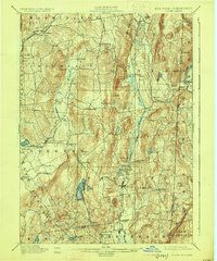
1925 edition
16.5 x 19.9 inches
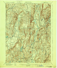
1928 edition
16.6 x 20.1 inches
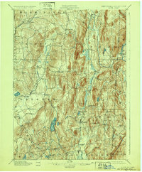
1932 edition
16.6 x 20.1 inches
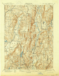
1938 edition
16 x 20.6 inches
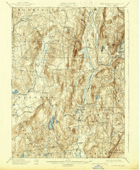
1938 edition
16.3 x 19.7 inches
Other maps of this area

1892 · West Point
USGS Topo · 1:62,500

1892 · Danbury
USGS Topo · 1:62,500

1892 · Cornwall
USGS Topo · 1:62,500

1892 · New Milford
USGS Topo · 1:62,500

1892 · Carmel
USGS Topo · 1:62,500

1893 · Carmel
USGS Topo · 1:62,500

1893 · New Milford
USGS Topo · 1:62,500

1893 · Cornwall
USGS Topo · 1:62,500

1893 · Clove
USGS Topo · 1:62,500

1893 · Poughkeepsie
USGS Topo · 1:62,500