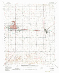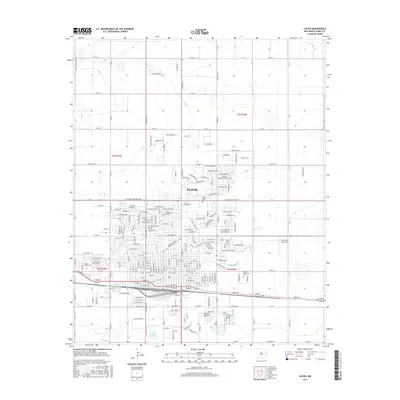
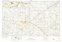
1954 Map of Clovis
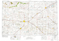
USGS Topo · Published 1980About this map
Clovis stands as the central hub of this High Plains landscape, where the Atchison Topeka and Santa Fe railroad corridor dictates the placement of numerous agricultural settlements across the New Mexico and Texas borderlands. The geography is defined by a series of parallel drainage features, including Frio Draw, Running Water Draw, and Blackwater Draw, which carve through the plateau. These draws historically provided the essential water sources for cattle ranching and early farming before the widespread adoption of modern irrigation.
Find a feature on this map
78 named features on this map. Tap any name to fly to it.
Don’t see what you’re looking for? This feature index may not catch every label — zoom into the map to look around manually.
Map Details
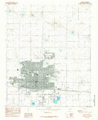
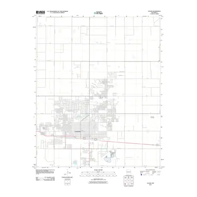
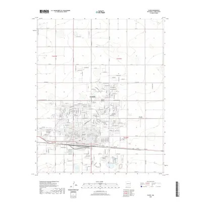
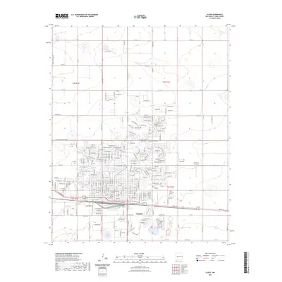
Editions of this 1954 Clovis Map
4 editions found

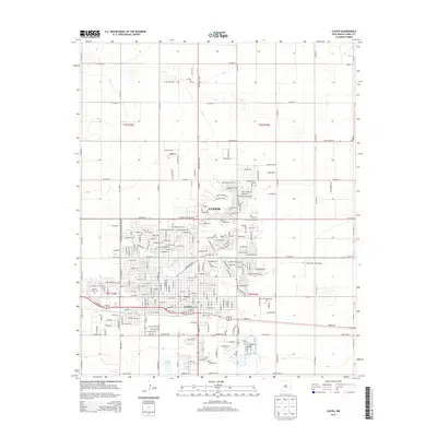
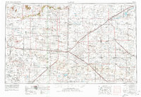
Historical Maps of Clovis Through Time
9 maps found