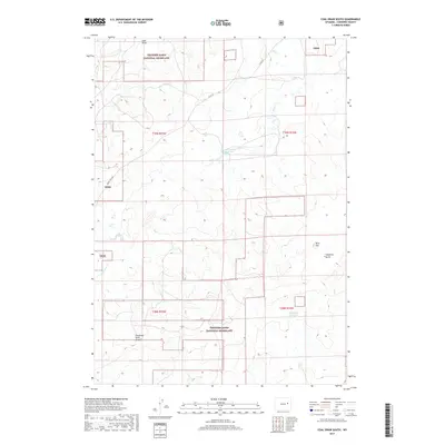
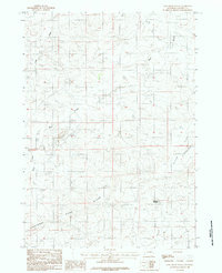
2017 Map of Coal Draw South
USGS Topo · Published 2017About this map
Thunder Basin National Grassland dominates this high plains landscape in Wyoming, where the vast open range is segmented by the Cheyenne River Divide. The terrain is defined by a network of drainage systems including Coal Draw and the various branches of Bear Creek, punctuated by man-made water sources like the Bear Creek Number 1 Reservoir and Reynolds Reservoir. These features reflect the area's ongoing reliance on water management for ranching and livestock. Local geography is further detailed through landmarks such as Dilts Flat and the evocative Calamity Gulch. Remote access is maintained through a modest road network, including Co RD 34 and the specifically named Jennie Trail Rd, highlighting the sparse but organized infrastructure of this expansive grassland territory during the early twenty-first century.
Find a feature on this map
16 named features on this map. Tap any name to fly to it.
Don’t see what you’re looking for? This feature index may not catch every label — zoom into the map to look around manually.
Map Details
Editions of this 2017 Coal Draw South Map
This is the sole edition of this map. No revisions or reprints were ever made.
Other maps of this area

1955 · Newcastle
USGS Topo · 1:250,000

1958 · Newcastle
USGS Topo · 1:250,000

1959 · Bill
USGS Topo · 1:62,500

1959 · Betty Reservoir
USGS Topo · 1:62,500

1959 · Coal Draw
USGS Topo · 1:62,500
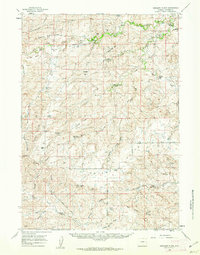
1959 · Highland Flats
USGS Topo · 1:62,500

1979 · Bill
USGS Topo · 1:100,000
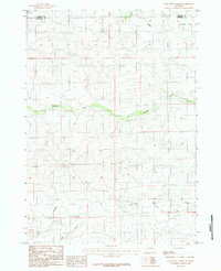
1984 · Coal Draw North
USGS Topo · 1:24,000
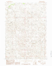
1984 · Patsy Draw
USGS Topo · 1:24,000
1984 · Coal Draw South
USGS Topo · 1:24,000