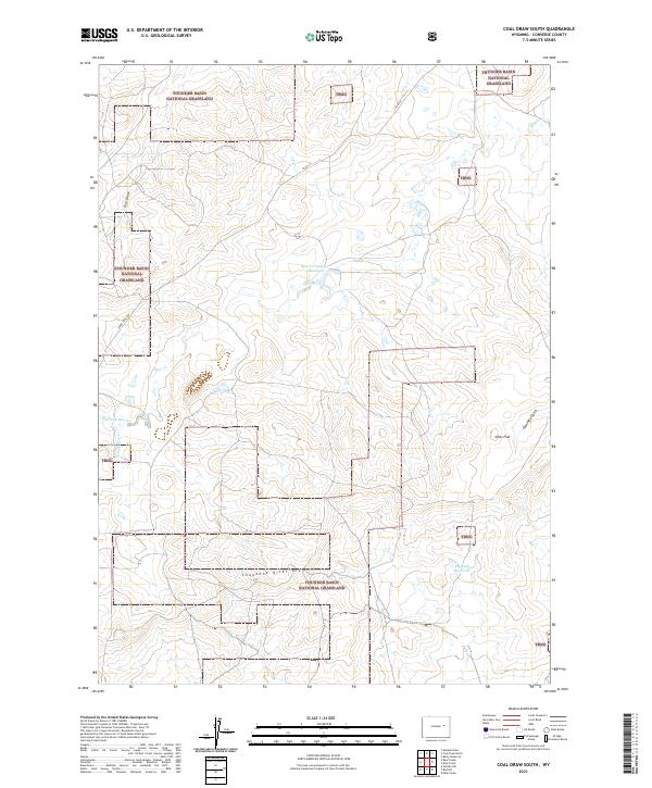
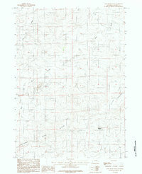
2021 Map of Coal Draw South
USGS Topo · Published 2021About this map
Thunder Basin National Grassland dominates this high-plains landscape, where the Cheyenne River Divide serves as a critical geographic marker between drainage systems. The terrain is defined by a network of seasonal watercourses and ridges, including the appropriately named Coal Draw and the stark topography of Dilts Flat. Evidence of ranching and water management in this arid environment is found in features like the Bear Cr Number 1 Reservoir and Reynolds Reservoir, which capture runoff from the N Fork Bear Cr and S Fork Bear Cr. The sparse road network, including Co Rd 34 and Jennie Trail Rd, traces the movement patterns of land managers and ranchers across these expansive public lands in Converse County.
Find a feature on this map
18 named features on this map. Tap any name to fly to it.
Don’t see what you’re looking for? This feature index may not catch every label — zoom into the map to look around manually.
Map Details
Editions of this 2021 Coal Draw South Map
This is the sole edition of this map. No revisions or reprints were ever made.
Other maps of this area

1955 · Newcastle
USGS Topo · 1:250,000

1958 · Newcastle
USGS Topo · 1:250,000

1959 · Bill
USGS Topo · 1:62,500

1959 · Betty Reservoir
USGS Topo · 1:62,500

1959 · Coal Draw
USGS Topo · 1:62,500
1959 · Highland Flats
USGS Topo · 1:62,500

1979 · Bill
USGS Topo · 1:100,000
1984 · Coal Draw North
USGS Topo · 1:24,000
1984 · Patsy Draw
USGS Topo · 1:24,000
1984 · Coal Draw South
USGS Topo · 1:24,000