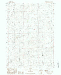
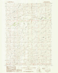
1984 Map of Coal Draw South
USGS Topo · Published 1984About this map
Cheyenne River winds through the southern reaches of this Wyoming landscape, marking a significant hydrologic feature in a region defined by its high-country Divide. The 1984 survey reveals a terrain shaped by water and industry, where the upper tributaries of Bear Creek—including the North Fork and South Fork—carve through the high plains. A localized industrial presence is noted by a Mine Dump north of Bear Creek, suggesting mineral exploration or extraction efforts in this part of Converse County. To the east, the broad expanse of Dilts Flat and the drainage of Calamity Gulch point to the varied topography of the Powder River Basin area. Features like Reynolds Reservoir and several flowing wells indicate the vital importance of water management in this arid ranching and mining environment.
Find a feature on this map
11 named features on this map. Tap any name to fly to it.
Don’t see what you’re looking for? This feature index may not catch every label — zoom into the map to look around manually.
Map Details
Editions of this 1984 Coal Draw South Map
This is the sole edition of this map. No revisions or reprints were ever made.
Other maps of this area

1955 · Newcastle
USGS Topo · 1:250,000

1958 · Newcastle
USGS Topo · 1:250,000

1959 · Bill
USGS Topo · 1:62,500

1959 · Betty Reservoir
USGS Topo · 1:62,500

1959 · Coal Draw
USGS Topo · 1:62,500
1959 · Highland Flats
USGS Topo · 1:62,500

1979 · Bill
USGS Topo · 1:100,000
1984 · Coal Draw North
USGS Topo · 1:24,000
1984 · Patsy Draw
USGS Topo · 1:24,000
1984 · Suicide Hill
USGS Topo · 1:24,000