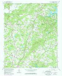
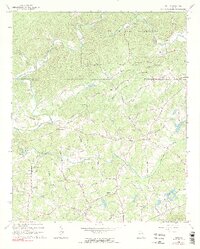
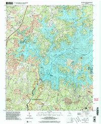
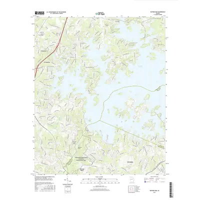
1964 Map of Coal Mountain
USGS Topo · Published 1986About this map
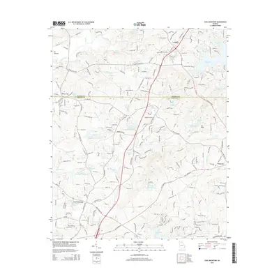
Lake Sidney Lanier dominates the northeastern and southern reaches of this landscape, its fingers reaching into the hilly terrain of Forsyth and Dawson Counties. The rising waters of the mid-20th century transformed the local geography, creating the Thompson Creek Recreation Area and altering the course of traditional travel near Lumpkin. Away from the shoreline, a network of rural roads such as Settingdown Road and Burruss Mill Road connects a series of established community centers, including Coal Mountain and Silver City. These areas are anchored by numerous country churches and burial grounds, such as Bethel Ch, Oak Grove Ch, and Ebenezer Cem. In the northwest, the Etowah River carves a path through the hills, while the southern portion shows the residential growth patterns appearing in the mid-1980s via purple photorevised updates, particularly along Heards Circle and Elrod Circle.
Find a feature on this map
51 named features on this map. Tap any name to fly to it.
Don’t see what you’re looking for? This feature index may not catch every label — zoom into the map to look around manually.
Map Details
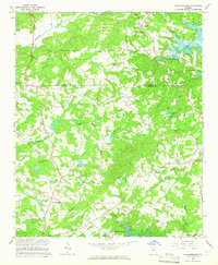
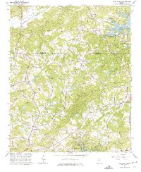
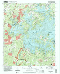
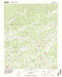
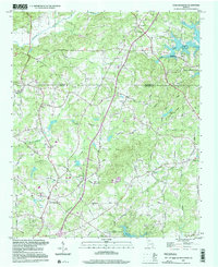
Editions of this 1964 Coal Mountain Map
3 editions found
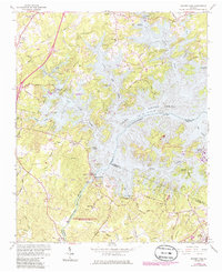
Historical Maps of Lumpkin Through Time
23 maps found
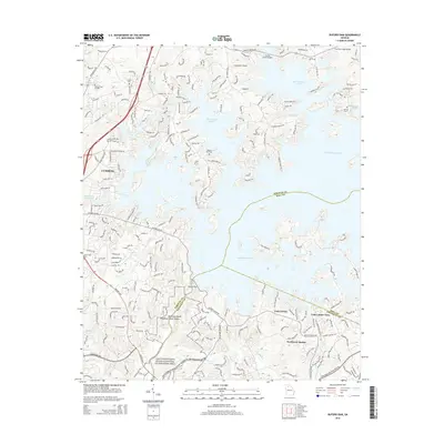
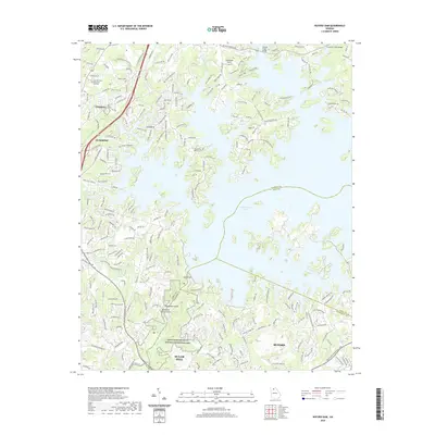
1964 Buford Dam
Forsyth County, GA
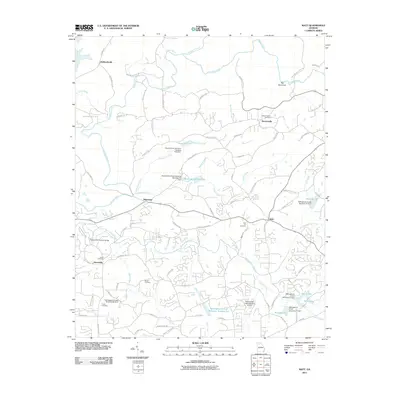
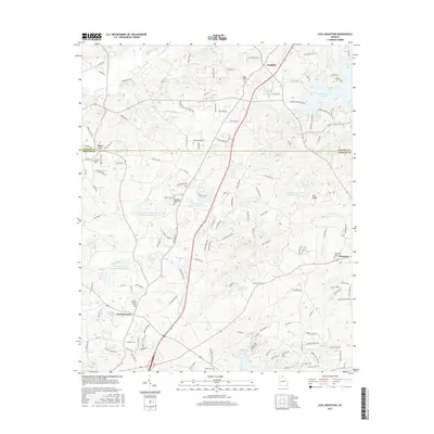
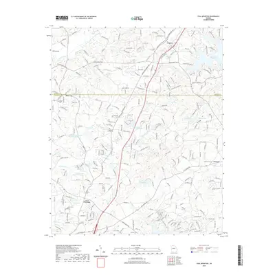
1964 Coal Mountain
Forsyth County, GA
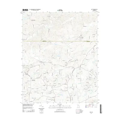
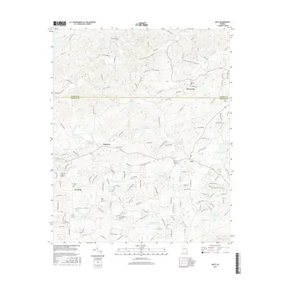
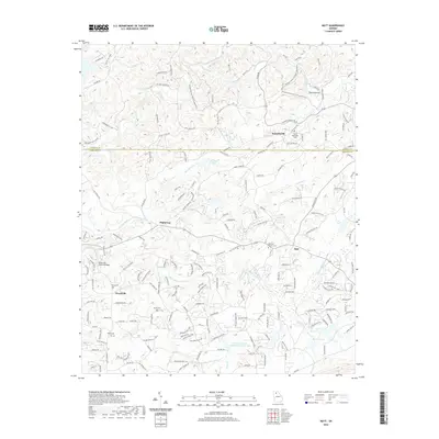
1964 Matt
Forsyth County, GA
1993 Buford Dam
Forsyth County, GA
1993 Matt
Forsyth County, GA
1997 Coal Mountain
Forsyth County, GA
1999 Buford Dam
Forsyth County, GA
1999 Matt
Forsyth County, GA
2011 Buford Dam
Forsyth County, GA
2011 Coal Mountain
Forsyth County, GA
2011 Matt
Forsyth County, GA
2014 Buford Dam
Forsyth County, GA
2014 Coal Mountain
Forsyth County, GA
2014 Matt
Forsyth County, GA
2017 Buford Dam
Forsyth County, GA
2017 Coal Mountain
Forsyth County, GA
2017 Matt
Forsyth County, GA
2020 Buford Dam
Forsyth County, GA
2020 Coal Mountain
Forsyth County, GA
2020 Matt
Forsyth County, GA
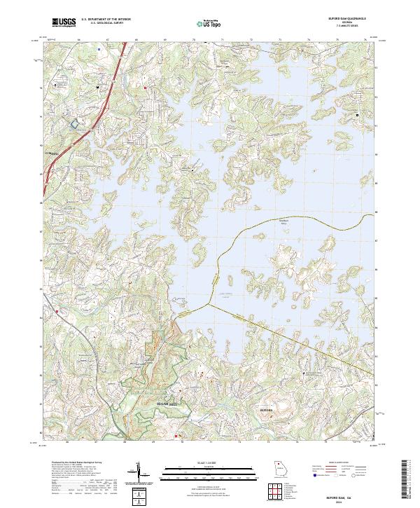
2024 Buford Dam
Forsyth County, GA
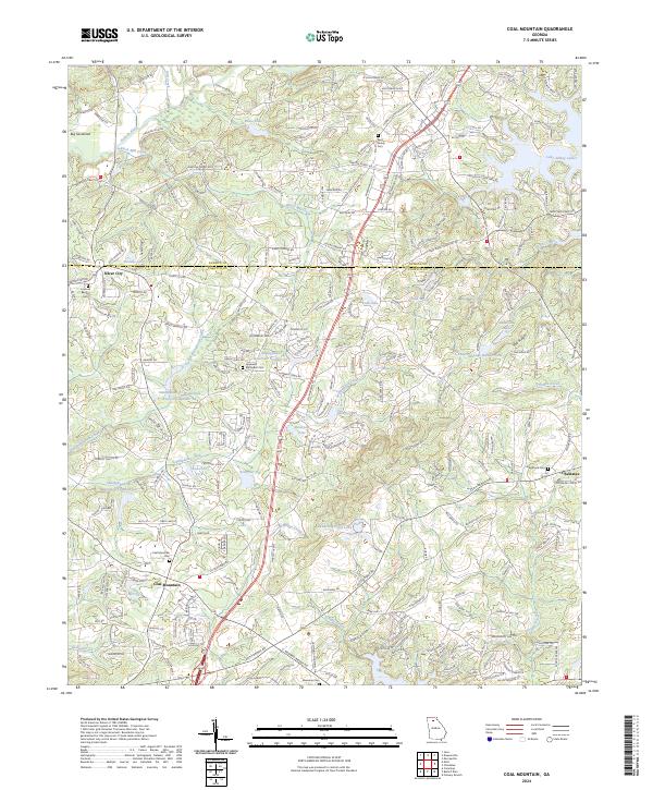
2024 Coal Mountain
Forsyth County, GA
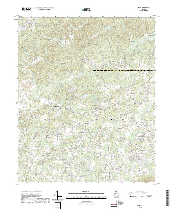
2024 Matt
Forsyth County, GA