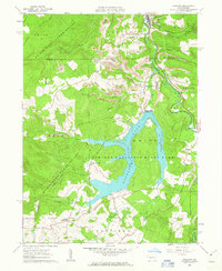
1961 Map of Coalport
USGS Topo · Published 1963About this map
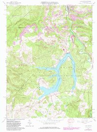
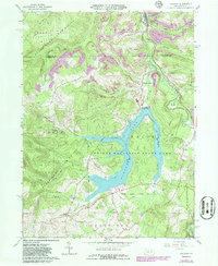
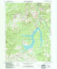
Prince Gallitzin State Park dominates the landscape of this 1961 field-checked survey, centering on the newly created Glendale Lake and the Glendale Dam. The map captures a moment of significant geographic transition where traditional extractive industries meet modern recreation. Extensive Strip Mine operations and a Tipple near Coalport and Lyleville reflect the region’s coal-mining heritage, while the large reservoir indicates a shift toward state-managed conservation. The Pennsylvania Railroad tracks follow the winding course of Clearfield Creek through Beaver Valley, serving as a critical transport artery for the various small settlements like Flinton and Fallentimber. Local genealogical landmarks include several unnamed Cem sites and the Shelton Hill Cem, alongside rural junctions such as Nagles Crossroad and Longs Crossroad that define the local road network.
Find a feature on this map
45 named features on this map. Tap any name to fly to it.
Don’t see what you’re looking for? This feature index may not catch every label — zoom into the map to look around manually.
Map Details
Editions of this 1961 Coalport Map
7 editions found
Other maps of this area

1902 · Patton
USGS Topo · 1:62,500

1903 · Curwensville
USGS Topo · 1:62,500

1903 · Houtzdale
USGS Topo · 1:62,500

1904 · Patton
USGS Topo · 1:62,500

1905 · Houtzdale
USGS Topo · 1:62,500

1920 · Altoona
USGS Topo · 1:62,500

1922 · Altoona
USGS Topo · 1:62,500

1939 · Curwensville
USGS Topo · 1:62,500

1942 · Curwensville
USGS Topo · 1:62,500

1943 · Punxsutawney
USGS Topo · 1:125,000