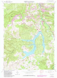
1961 Map of Coalport
USGS Topo · Published 1982About this map
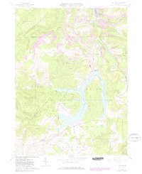
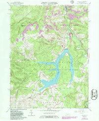
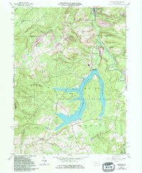
Glendale Lake dominates the central topography of this survey, surrounded by the sprawling acreage of Prince Gallitzin State Park. The landscape is a study in Pennsylvania's mid-century transition from industrial extraction to managed conservation and recreation. Extensive Strip Mines are mapped on the hillsides around Flinton and Fiske, while the northern reaches transition into State Game Lands No 120. The community of Coalport serves as a primary hub in the north, connected to smaller settlements like Lyleville and Blain via the Conrail lines. Local genealogy and settlement history are reflected in family-named junctions such as Longs Crossroad and Naglee Crossroad, while numerous small drainages like Snake Creek and Clearfield Creek define the valley floors between the ridges.
Find a feature on this map
45 named features on this map. Tap any name to fly to it.
Don’t see what you’re looking for? This feature index may not catch every label — zoom into the map to look around manually.
Map Details
Editions of this 1961 Coalport Map
7 editions found
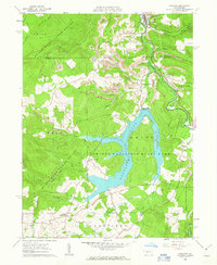
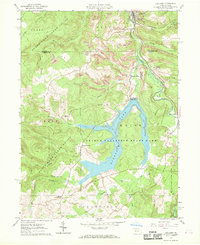
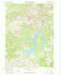
Other maps of this area

1902 · Patton
USGS Topo · 1:62,500

1903 · Curwensville
USGS Topo · 1:62,500

1903 · Houtzdale
USGS Topo · 1:62,500

1904 · Patton
USGS Topo · 1:62,500

1905 · Houtzdale
USGS Topo · 1:62,500

1920 · Altoona
USGS Topo · 1:62,500

1922 · Altoona
USGS Topo · 1:62,500

1939 · Curwensville
USGS Topo · 1:62,500

1942 · Curwensville
USGS Topo · 1:62,500

1943 · Punxsutawney
USGS Topo · 1:125,000