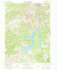
1961 Map of Coalport
USGS Topo · Published 1973About this map
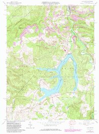
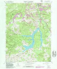
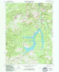
Glendale Lake serves as the central focal point of this survey, its complex shoreline winding through the heart of Prince Gallitzin State Park. The landscape is a study in the intersection of public conservation and industrial extraction, with large tracts of State Game Lands No 120 and State Game Lands No 108 surrounding active strip mines and a borrow pit. The town of Coalport and neighboring Lyleville sit at the northern edge, where the Penn Central railroad follows the valley of Clearfield Creek. Historically significant local travel points such as Longs Crossroad and Nagles Crossroad reveal the established rural road network, while the presence of the Glendale Dam spillway highlights the engineering that reshaped this portion of the Beccaria and Reade townships.
Find a feature on this map
41 named features on this map. Tap any name to fly to it.
Don’t see what you’re looking for? This feature index may not catch every label — zoom into the map to look around manually.
Map Details
Editions of this 1961 Coalport Map
7 editions found
Other maps of this area

1902 · Patton
USGS Topo · 1:62,500

1903 · Curwensville
USGS Topo · 1:62,500

1903 · Houtzdale
USGS Topo · 1:62,500

1904 · Patton
USGS Topo · 1:62,500

1905 · Houtzdale
USGS Topo · 1:62,500

1920 · Altoona
USGS Topo · 1:62,500

1922 · Altoona
USGS Topo · 1:62,500

1939 · Curwensville
USGS Topo · 1:62,500

1942 · Curwensville
USGS Topo · 1:62,500

1943 · Punxsutawney
USGS Topo · 1:125,000