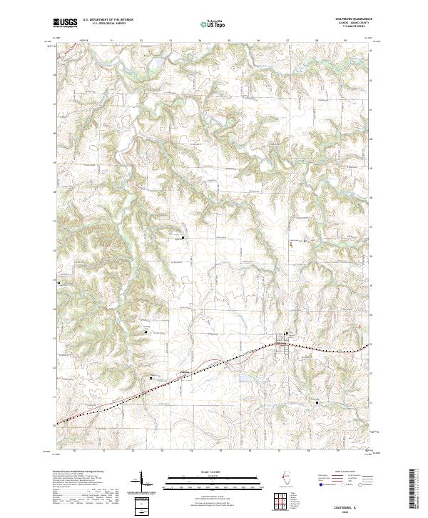
2024 Map of Coatsburg
USGS Topo · Published 2024About this map
Coatsburg and Paloma serve as the primary hubs in this agricultural pocket of Adams County, where the landscape is intricately carved by several waterways. The drainage pattern is defined by the winding paths of Brushy Creek and South Fork Bear Creek, which create deep topographical variations across the prairie. For those researching local family histories, the map identifies numerous small burial sites, including the Gate Family Cem, Byler Cem, and the uniquely named Gray Mound Cem. These small cemeteries are often the only remaining physical indicators of early farmstead locations and pioneer family plots. A dense network of numbered county roads, such as N 2500th Ave and Co Rd 1900 E, connects the various sections, reflecting the enduring legacy of the Public Land Survey System in organizing the Illinois interior.
Find a feature on this map
80 named features on this map. Tap any name to fly to it.
Don’t see what you’re looking for? This feature index may not catch every label — zoom into the map to look around manually.
Map Details
Editions of this 2024 Coatsburg Map
This is the sole edition of this map. No revisions or reprints were ever made.
Other maps of this area

1925 · Quincy
USGS Topo · 1:62,500

1925 · Liberty
USGS Topo · 1:62,500

1927 · Liberty
USGS Topo · 1:62,500

1944 · Quincy
USGS Topo · 1:62,500

1945 · Quincy
USGS Topo · 1:62,500

1946 · Mendon
USGS Topo · 1:62,500

1948 · Quincy
USGS Topo · 1:250,000

1948 · Mendon
USGS Topo · 1:62,500

1948 · Camp Point
USGS Topo · 1:62,500

1956 · Quincy
USGS Topo · 1:250,000