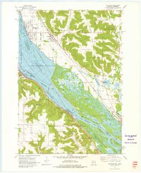
1972 Map of Cochrane
USGS Topo · Published 1976About this map
Mississippi River backwaters and the high ridges of Belvidere Ridge dominate this riverine landscape during the early 1970s. The region is defined by the complex aquatic environment of the Upper Mississippi River Wild Life and Fish Refuge, which is dotted with numerous landforms like Keller Island and Island No 53. On the Wisconsin side, the villages of Cochrane and Buffalo City sit on the terrace above the flood plain, served by the Burlington Northern railroad.
Find a feature on this map
42 named features on this map. Tap any name to fly to it.
Don’t see what you’re looking for? This feature index may not catch every label — zoom into the map to look around manually.
Map Details
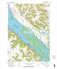
Editions of this 1972 Cochrane Map
2 editions found
Other maps of this area

1929 · Fountain City
USGS Topo · 1:62,500

1932 · Cochrane
USGS Topo · 1:62,500

1932 · Gilmanton
USGS Topo · 1:62,500

1932 · Alma
USGS Topo · 1:62,500

1934 · Winona
USGS Topo · 1:62,500

1934 · Cochrane
USGS Topo · 1:62,500

1937 · Winona
USGS Topo · 1:62,500

1937 · Cochrane
USGS Topo · 1:62,500

1950 · Alma
USGS Topo · 1:62,500

1953 · Eau Claire
USGS Topo · 1:250,000