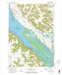
1972 Map of Cochrane
USGS Topo · Published 1976About this map
Mississippi River backwaters and the complex industrial corridor of the Upper Midwest define this 1970s survey. On the Wisconsin side, the river’s reach is shaped by Lock and Dam No 5, while the town of Cochrane and nearby Buffalo City sit between the rising bluffs of Belvidere Ridge and the Burlington Northern tracks. Across the state line in Minnesota, the Chicago Milwaukee St Paul and Pacific railroad traces the shoreline beneath the heights of Mount Vernon and Chimney Rock.
Find a feature on this map
50 named features on this map. Tap any name to fly to it.
Don’t see what you’re looking for? This feature index may not catch every label — zoom into the map to look around manually.
Map Details
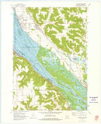
Editions of this 1972 Cochrane Map
2 editions found
Other maps of this area

1929 · Fountain City
USGS Topo · 1:62,500

1932 · Cochrane
USGS Topo · 1:62,500

1932 · Gilmanton
USGS Topo · 1:62,500

1932 · Alma
USGS Topo · 1:62,500

1934 · Winona
USGS Topo · 1:62,500

1934 · Cochrane
USGS Topo · 1:62,500

1937 · Winona
USGS Topo · 1:62,500

1937 · Cochrane
USGS Topo · 1:62,500

1950 · Alma
USGS Topo · 1:62,500

1953 · Eau Claire
USGS Topo · 1:250,000