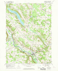
1967 Map of Cochranton
USGS Topo · Published 1970About this map
Cochranton serves as the focal point for this Crawford County landscape, where the confluence of French Creek and Sugar Creek defines the local geography. The late 1960s terrain is characterized by a high density of family-named crossroads and small settlements such as Frenchtown, Pettis Corners, and Shaws Landing. A significant man-made feature, Tamarack Lake, dominates the northern half of the map, held by a substantial dam near McNamaras Corners.
Find a feature on this map
65 named features on this map. Tap any name to fly to it.
Don’t see what you’re looking for? This feature index may not catch every label — zoom into the map to look around manually.
Map Details
Editions of this 1967 Cochranton Map
2 editions found
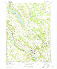
Other maps of this area

1909 · Franklin
USGS Topo · 1:62,500

1911 · Franklin
USGS Topo · 1:62,500

1911 · Stoneboro
USGS Topo · 1:62,500

1913 · Stoneboro
USGS Topo · 1:62,500

1923 · Meadville
USGS Topo · 1:62,500

1925 · Meadville
USGS Topo · 1:62,500

1927 · Townville
USGS Topo · 1:48,000

1932 · Townville
USGS Topo · 1:62,500

1943 · Meadville
USGS Topo · 1:62,500

1943 · Stoneboro
USGS Topo · 1:62,500