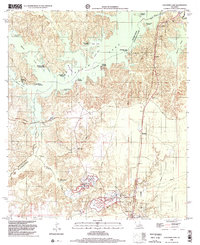
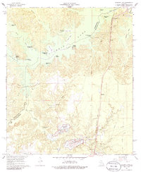
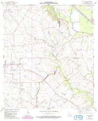
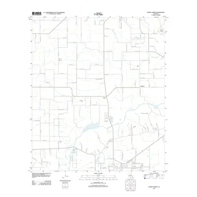
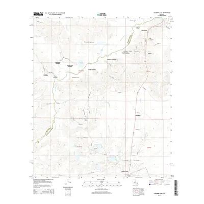
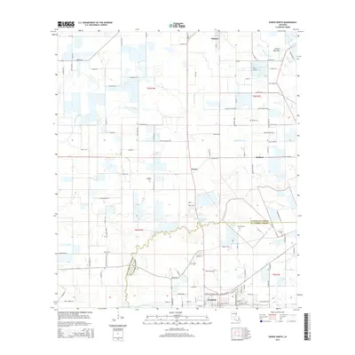
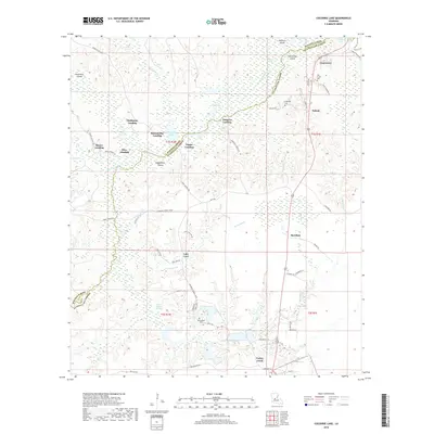
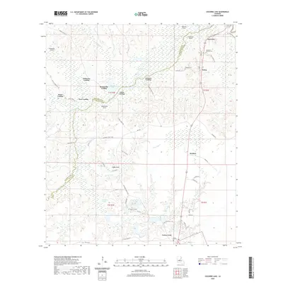
1998 Map of Cocodrie Lake
USGS Topo · Published 2002About this map
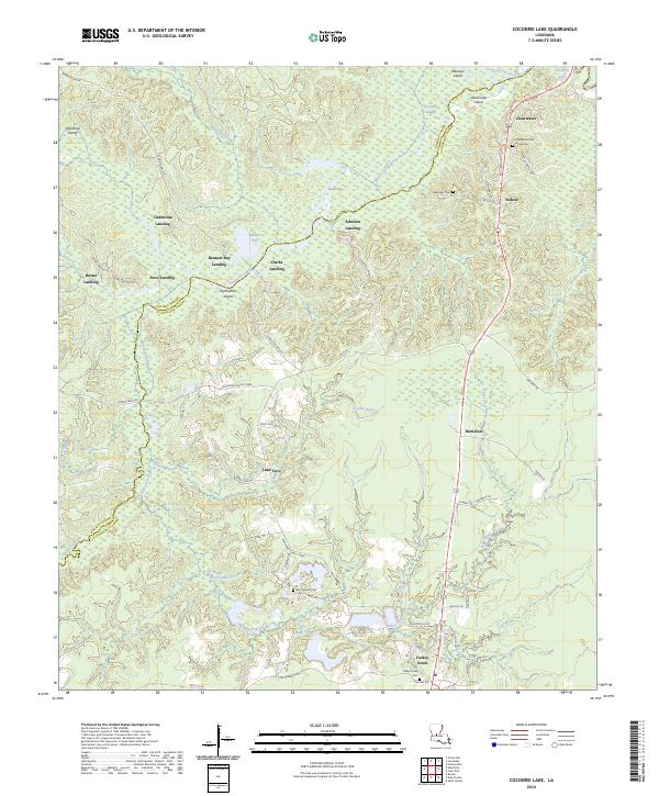
Cocodrie Lake and its intricate network of bayous and landings define this central Louisiana landscape along the border of Rapides and Evangeline Parishes. The map captures a transition from water-focused navigation to industrial land use, evidenced by the numerous named landings such as Johnson Landing and Bennett Bay Landing alongside a prominent Pipeline and an Old Railroad Grade. Small settlements like Clearwater and Meridian anchor the rural infrastructure, while the Meridian Lookout Tower stands as a landmark over the surrounding brakes and islands.
Find a feature on this map
39 named features on this map. Tap any name to fly to it.
Don’t see what you’re looking for? This feature index may not catch every label — zoom into the map to look around manually.
Map Details
Editions of this 1998 Cocodrie Lake Map
This is the sole edition of this map. No revisions or reprints were ever made.
Historical Maps of Turkey Creek Through Time
56 maps found

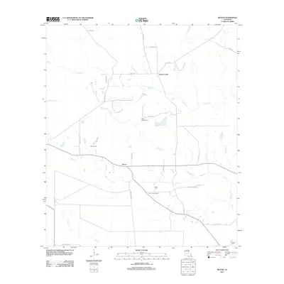
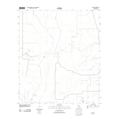
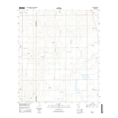
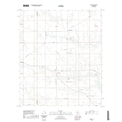
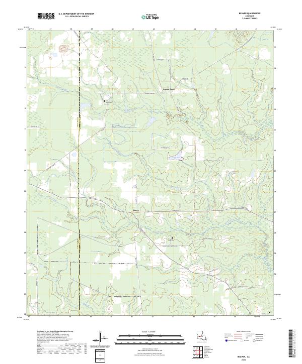
1935 Beaver
Evangeline Parish, LA

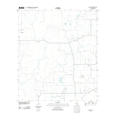
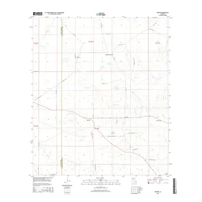
1947 Bond
Evangeline Parish, LA

1947 Fruge Lake
Evangeline Parish, LA

1947 Redland
Evangeline Parish, LA

1954 Beaver
Evangeline Parish, LA

1954 Fruge Lake
Evangeline Parish, LA
1967 Cocodrie Lake
Evangeline Parish, LA
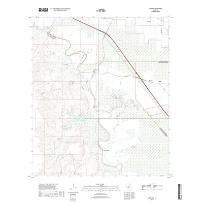
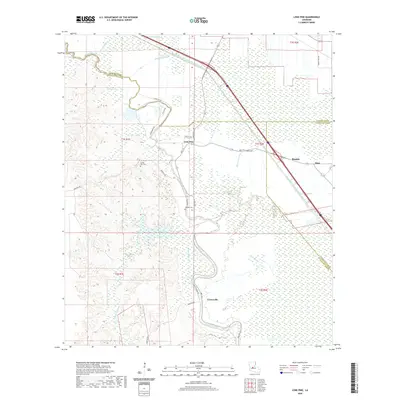
1967 Lone Pine
Evangeline Parish, LA
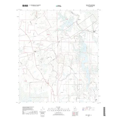
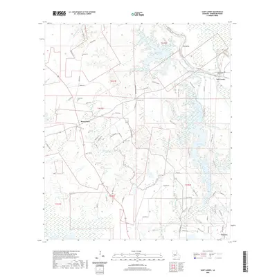
1967 St. Landry
Evangeline Parish, LA

1968 Beaver
Evangeline Parish, LA

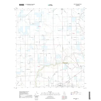
1983 Eunice North
Evangeline Parish, LA
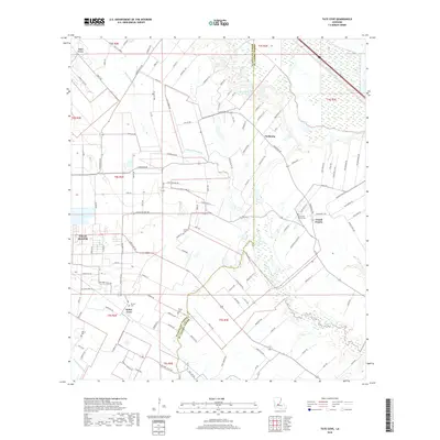
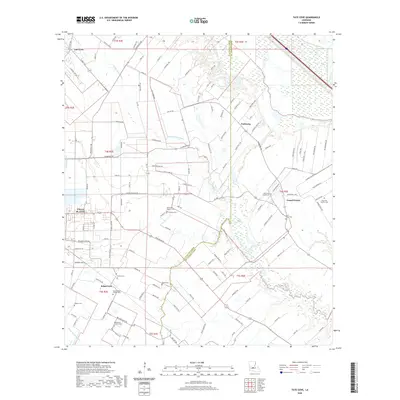
1983 Tate Cove
Evangeline Parish, LA
1986 Bond
Evangeline Parish, LA
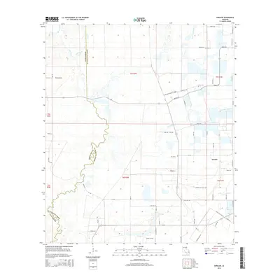
1986 Duralde
Evangeline Parish, LA
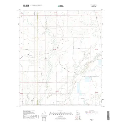
1998 Beaver
Evangeline Parish, LA
1998 Cocodrie Lake
Evangeline Parish, LA
2012 Beaver
Evangeline Parish, LA
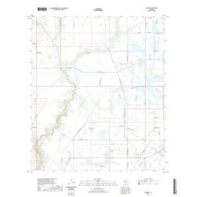
2012 Bond
Evangeline Parish, LA
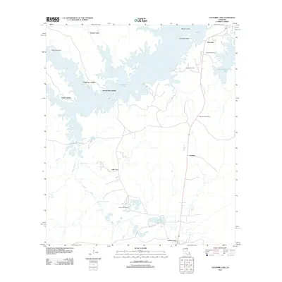
2012 Cocodrie Lake
Evangeline Parish, LA
2012 Duralde
Evangeline Parish, LA
2012 Eunice North
Evangeline Parish, LA
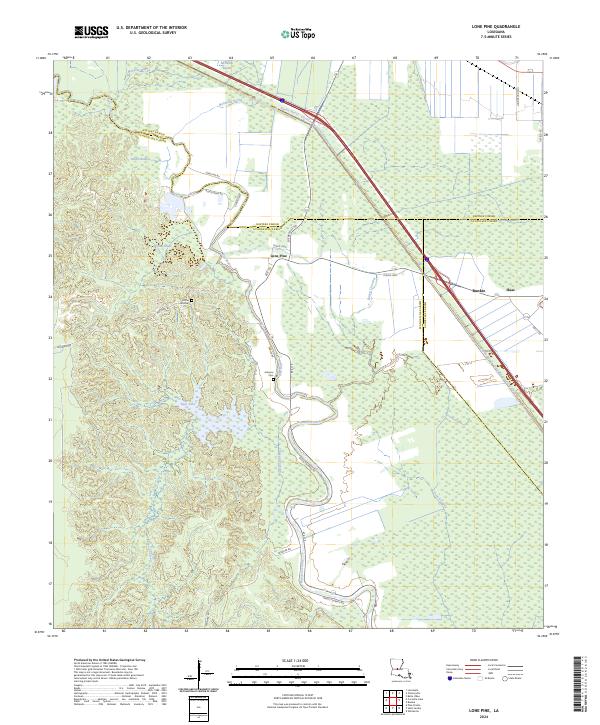
2012 Lone Pine
Evangeline Parish, LA
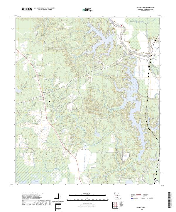
2012 Saint Landry
Evangeline Parish, LA
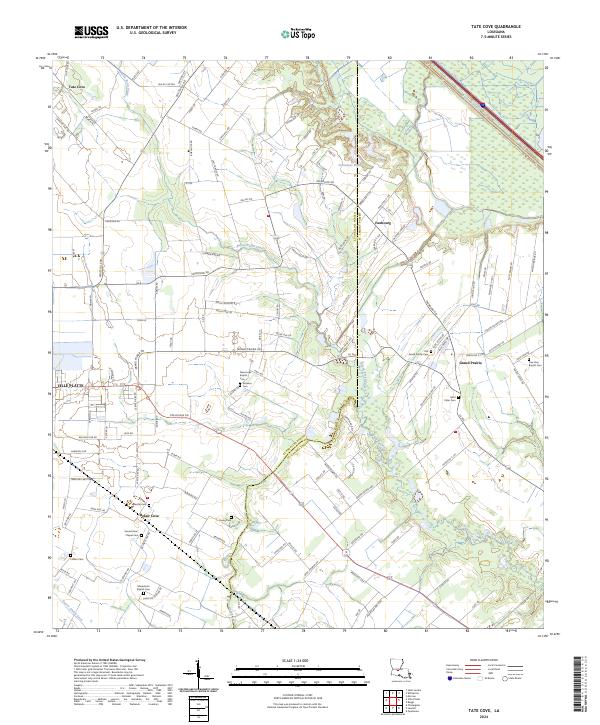
2012 Tate Cove
Evangeline Parish, LA
2015 Beaver
Evangeline Parish, LA
2015 Bond
Evangeline Parish, LA
2015 Cocodrie Lake
Evangeline Parish, LA
2015 Duralde
Evangeline Parish, LA
2015 Eunice North
Evangeline Parish, LA
2015 Lone Pine
Evangeline Parish, LA
2015 Saint Landry
Evangeline Parish, LA
2015 Tate Cove
Evangeline Parish, LA
2018 Beaver
Evangeline Parish, LA
2018 Bond
Evangeline Parish, LA
2018 Cocodrie Lake
Evangeline Parish, LA
2018 Duralde
Evangeline Parish, LA
2018 Eunice North
Evangeline Parish, LA
2018 Lone Pine
Evangeline Parish, LA
2018 Saint Landry
Evangeline Parish, LA
2018 Tate Cove
Evangeline Parish, LA
2020 Beaver
Evangeline Parish, LA
2020 Bond
Evangeline Parish, LA
2020 Cocodrie Lake
Evangeline Parish, LA
2020 Duralde
Evangeline Parish, LA

2020 Eunice North
Evangeline Parish, LA
2020 Lone Pine
Evangeline Parish, LA
2020 Saint Landry
Evangeline Parish, LA
2020 Tate Cove
Evangeline Parish, LA
2024 Beaver
Evangeline Parish, LA
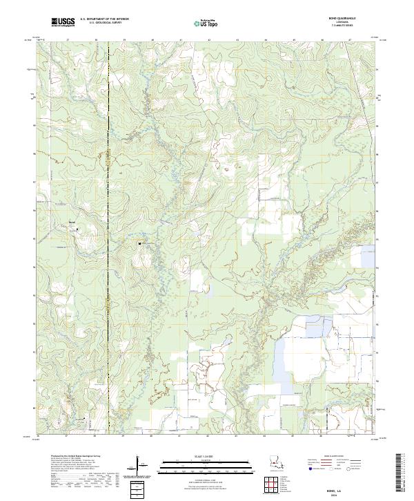
2024 Bond
Evangeline Parish, LA
2024 Cocodrie Lake
Evangeline Parish, LA
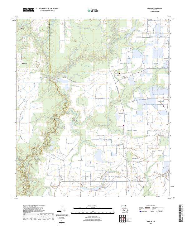
2024 Duralde
Evangeline Parish, LA
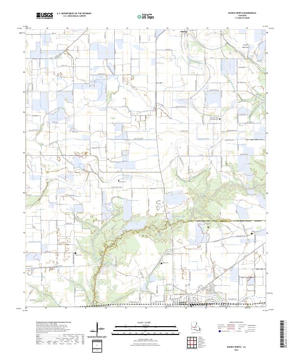
2024 Eunice North
Evangeline Parish, LA
2024 Lone Pine
Evangeline Parish, LA
2024 Saint Landry
Evangeline Parish, LA
2024 Tate Cove
Evangeline Parish, LA