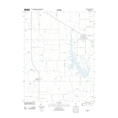
2012 Map of Coffeen
USGS Topo · Published 2012About this map
Coffeen Lake dominates the eastern half of this landscape, its dendritic fingers reaching into the surrounding Illinois prairie. This 2011 imagery-based survey illustrates a rural region centered on the town of Coffeen, where the local street grid including N Elm St and Barry St meets the rail corridor. Further west, the village of Donnellson sits near the intersection of several local routes, serving as a secondary hub for the agricultural community.
Find a feature on this map
58 named features on this map. Tap any name to fly to it.
Don’t see what you’re looking for? This feature index may not catch every label — zoom into the map to look around manually.
Map Details
Editions of this 2012 Coffeen Map
This is the sole edition of this map. No revisions or reprints were ever made.
Other maps of this area

1915 · Mount Olive
USGS Topo · 1:62,500

1932 · Greenville
USGS Topo · 1:62,500

1937 · New Douglas
USGS Topo · 1:48,000

1939 · Greenville
USGS Topo · 1:62,500

1943 · Greenville
USGS Topo · 1:62,500

1944 · New Douglas
USGS Topo · 1:62,500

1944 · Mount Olive
USGS Topo · 1:62,500

1947 · Hillsboro
USGS Topo · 1:62,500

1949 · Hillsboro
USGS Topo · 1:62,500

1958 · Decatur
USGS Topo · 1:250,000