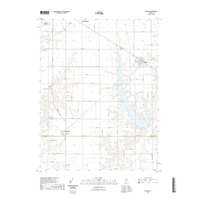
2021 Map of Coffeen
USGS Topo · Published 2021About this map
Coffeen Lake dominates the central and southeastern portion of this landscape, its irregular shoreline reaching north toward the town of Coffeen. The town itself is mapped in detail, showing the local grid including W Main St and S Church St near the junction with Co Hwy 9. To the west, the village of Taylor Springs sits along the northern edge, while Donnellson straddles the boundary between Montgomery and Bond counties in the south.
Find a feature on this map
94 named features on this map. Tap any name to fly to it.
Don’t see what you’re looking for? This feature index may not catch every label — zoom into the map to look around manually.
Map Details
Editions of this 2021 Coffeen Map
This is the sole edition of this map. No revisions or reprints were ever made.
Other maps of this area

1915 · Mount Olive
USGS Topo · 1:62,500

1932 · Greenville
USGS Topo · 1:62,500

1937 · New Douglas
USGS Topo · 1:48,000

1939 · Greenville
USGS Topo · 1:62,500

1943 · Greenville
USGS Topo · 1:62,500

1944 · New Douglas
USGS Topo · 1:62,500

1944 · Mount Olive
USGS Topo · 1:62,500

1947 · Hillsboro
USGS Topo · 1:62,500

1949 · Hillsboro
USGS Topo · 1:62,500

1958 · Decatur
USGS Topo · 1:250,000