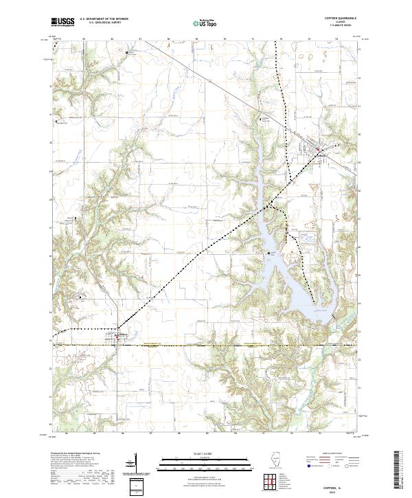
2024 Map of Coffeen
USGS Topo · Published 2024About this map
Coffeen Lake dominates the central geography of this Montgomery and Bond County borderland, where the fingers of the reservoir reach into the surrounding prairie. To the north, the town of Coffeen sits at the junction of local roads and the East Fork Shoal Creek, which feeds the lake's lower reaches. The landscape is a mix of agricultural plots and drainage systems, marked by numerous small streams including McDavid Branch, Bearcat Creek, and Yankee Creek.
Find a feature on this map
92 named features on this map. Tap any name to fly to it.
Don’t see what you’re looking for? This feature index may not catch every label — zoom into the map to look around manually.
Map Details
Editions of this 2024 Coffeen Map
This is the sole edition of this map. No revisions or reprints were ever made.
Other maps of this area

1915 · Mount Olive
USGS Topo · 1:62,500

1932 · Greenville
USGS Topo · 1:62,500

1937 · New Douglas
USGS Topo · 1:48,000

1939 · Greenville
USGS Topo · 1:62,500

1943 · Greenville
USGS Topo · 1:62,500

1944 · New Douglas
USGS Topo · 1:62,500

1944 · Mount Olive
USGS Topo · 1:62,500

1947 · Hillsboro
USGS Topo · 1:62,500

1949 · Hillsboro
USGS Topo · 1:62,500

1958 · Decatur
USGS Topo · 1:250,000