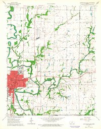
1962 Map of Coffeyville East
USGS Topo · Published 1964About this map
The industrial and agricultural landscape of Montgomery County converges at Coffeyville, where the Verdigris River snakes through the western portion of the quadrangle. This 1962 field-checked survey highlights a period of significant local infrastructure, featuring a large Refinery complex and the Mc Gugin Field oil works. The map serves as a detailed record for genealogists, identifying numerous educational and civic landmarks such as Coffeyville College, Holy Name Sch, and Walter Johnson Sch, alongside the Elmwood Cemetery and Kallock Cem.
Find a feature on this map
44 named features on this map. Tap any name to fly to it.
Don’t see what you’re looking for? This feature index may not catch every label — zoom into the map to look around manually.
Map Details
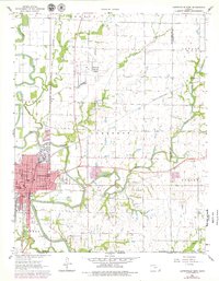
Editions of this 1962 Coffeyville East Map
2 editions found
Other maps of this area

1886 · Independence
USGS Topo · 1:125,000

1886 · Parsons
USGS Topo · 1:125,000

1893 · Parsons
USGS Topo · 1:125,000

1894 · Independence
USGS Topo · 1:125,000

1901 · Nowata
USGS Topo · 1:125,000

1901 · Vinita
USGS Topo · 1:125,000

1905 · Independence
USGS Topo · 1:125,000

1913 · Vinita
USGS Topo · 1:125,000

1914 · Nowata
USGS Topo · 1:125,000

1946 · Mound Valley
USGS Topo · 1:62,500