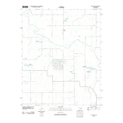
2009 Map of Cogar NW
USGS Topo · Published 2009About this map
The Canadian River winds through this central Oklahoma landscape, defining a terrain shaped by local water management and early 21st-century rural development. Land ownership and agricultural history are reflected in the naming of several small-scale water projects, including the Eugene Powers Reservoir, Chester Chiles Reservoir, and the dual Frenchie Hickman Number 1 Reservoirs. These features, often paired with their corresponding dams, illustrate a managed hydrologic system designed for the local ranching or farming economy.
Find a feature on this map
40 named features on this map. Tap any name to fly to it.
Don’t see what you’re looking for? This feature index may not catch every label — zoom into the map to look around manually.
Map Details
Editions of this 2009 Cogar NW Map
This is the sole edition of this map. No revisions or reprints were ever made.
Other maps of this area

1893 · Fort Reno
USGS Topo · 1:62,500

1893 · Buggy Creek
USGS Topo · 1:62,500

1941 · Fort Reno
USGS Topo · 1:62,500

1942 · Fort Reno
USGS Topo · 1:62,500

1942 · Geary
USGS Topo · 1:62,500

1949 · Fort Reno
USGS Topo · 1:62,500

1951 · Binger
USGS Topo · 1:62,500

1955 · Clinton
USGS Topo · 1:250,000

1957 · Clinton
USGS Topo · 1:250,000

1967 · Fort Reno SW
USGS Topo · 1:24,000