
1957 Map of Cold Creek Ranch
USGS Topo · Published 1959About this map
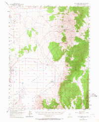
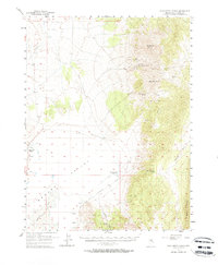
Huntington Valley and the northern reaches of Newark Lake (Alkali Flat) define this high-desert ranching landscape in the late 1950s. The map illustrates the essential reliance on water in this arid terrain, showing a complex network of features such as Bourne Tunnel Spring, Canyon Reservoir, and various irrigation works labeled simply as Ditch. The historic Elko-Hamilton Stage Route cuts through the valley, tracing a path between the mountains that speaks to the area's mid-century transit and commerce patterns.
Find a feature on this map
32 named features on this map. Tap any name to fly to it.
Don’t see what you’re looking for? This feature index may not catch every label — zoom into the map to look around manually.
Map Details
Editions of this 1957 Cold Creek Ranch Map
3 editions found
Other maps of this area

1934 · Jiggs
USGS Topo · 1:125,000

1937 · Jiggs
USGS Topo · 1:125,000

1953 · Eureka
USGS Topo · 1:62,500

1955 · Elko
USGS Topo · 1:250,000

1956 · Ely
USGS Topo · 1:250,000

1957 · Buck Mountain
USGS Topo · 1:62,500

1957 · Diamond Springs
USGS Topo · 1:62,500

1958 · Elko
USGS Topo · 1:250,000

1959 · Ely
USGS Topo · 1:250,000

1959 · Railroad Pass
USGS Topo · 1:62,500