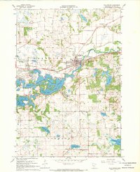
1967 Map of Cold Spring
USGS Topo · Published 1963About this map
Cold Spring sits at the center of this 1967 survey, where the Sauk River and the Great Northern rail line converge. The landscape is defined by an intricate chain of lakes, including Great Northern Lake, Krays Lake, and Cedar Island Lake, reflecting a glacial topography that shaped the region’s development. The distribution of small settlements like Jacobs Prairie and St Nicholas highlights the agricultural and religious heritage of Stearns County, marked by several prominent Catholic landmarks such as the Assumption Chapel and St Boniface Cem.
Find a feature on this map
37 named features on this map. Tap any name to fly to it.
Don’t see what you’re looking for? This feature index may not catch every label — zoom into the map to look around manually.
Map Details
Editions of this 1967 Cold Spring Map
2 editions found
Other maps of this area
1953 · Saint Cloud
USGS Topo · 1:250,000
1957 · Saint Cloud
USGS Topo · 1:250,000
1958 · Saint Cloud
USGS Topo · 1:250,000
1965 · Farming
USGS Topo · 1:24,000
1965 · St Joseph
USGS Topo · 1:24,000
1965 · Avon
USGS Topo · 1:24,000
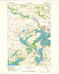
1967 · Richmond
USGS Topo · 1:24,000
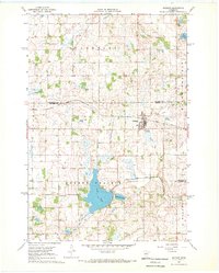
1967 · Watkins
USGS Topo · 1:24,000
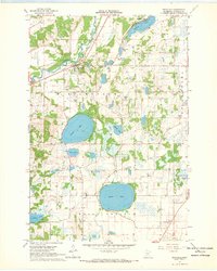
1967 · Rockville
USGS Topo · 1:24,000
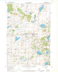
1967 · Kimball
USGS Topo · 1:24,000