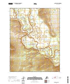
2018 Map of Coleen A-4 NW
USGS Topo · Published 2018About this map
The Coleen River meanders in sweeping oxbows through this portion of the Yukon-Koyukuk Census Area, defining the low-lying topography of the region. As of 2018, the landscape remains largely defined by its natural hydrology, with the river creating a complex network of wetlands and seasonal channels across the northern interior of Alaska. The survey area is organized by the Public Land Survey System, spanning township boundaries including T28n R22e and T27n R23e. The tight contour intervals illustrate the gradual elevation changes of the floodplains surrounding the main river corridor, highlighting the significant role water drainage plays in shaping this remote territory. This map provides a technical foundation for understanding the physical geography and administrative boundaries of the area before modern development or infrastructure.
Find a feature on this map
5 named features on this map. Tap any name to fly to it.
Don’t see what you’re looking for? This feature index may not catch every label — zoom into the map to look around manually.
Map Details
Editions of this 2018 Coleen A-4 NW Map
This is the sole edition of this map. No revisions or reprints were ever made.
Other maps of this area

1951 · Coleen
USGS Topo · 1:250,000

1956 · Coleen
USGS Topo · 1:250,000

1956 · Coleen A-5
USGS Topo · 1:63,360

1956 · Coleen A-4
USGS Topo · 1:63,360
1990 · Coleen B-5
USGS Topo · 1:63,360
1990 · Coleen B-4
USGS Topo · 1:63,360
2018 · Coleen A-4 NE
USGS Topo · 1:25,000
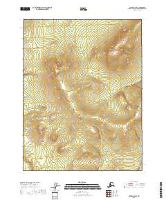
2018 · Coleen A-4 SW
USGS Topo · 1:25,000
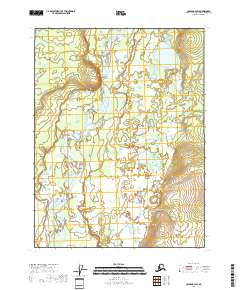
2018 · Coleen B-4 SW
USGS Topo · 1:25,000
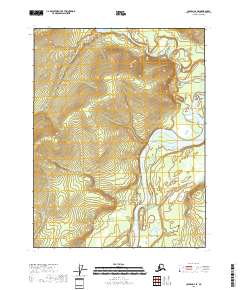
2018 · Coleen A-4 SE
USGS Topo · 1:25,000